Transport Functions
Port
Rail
Road
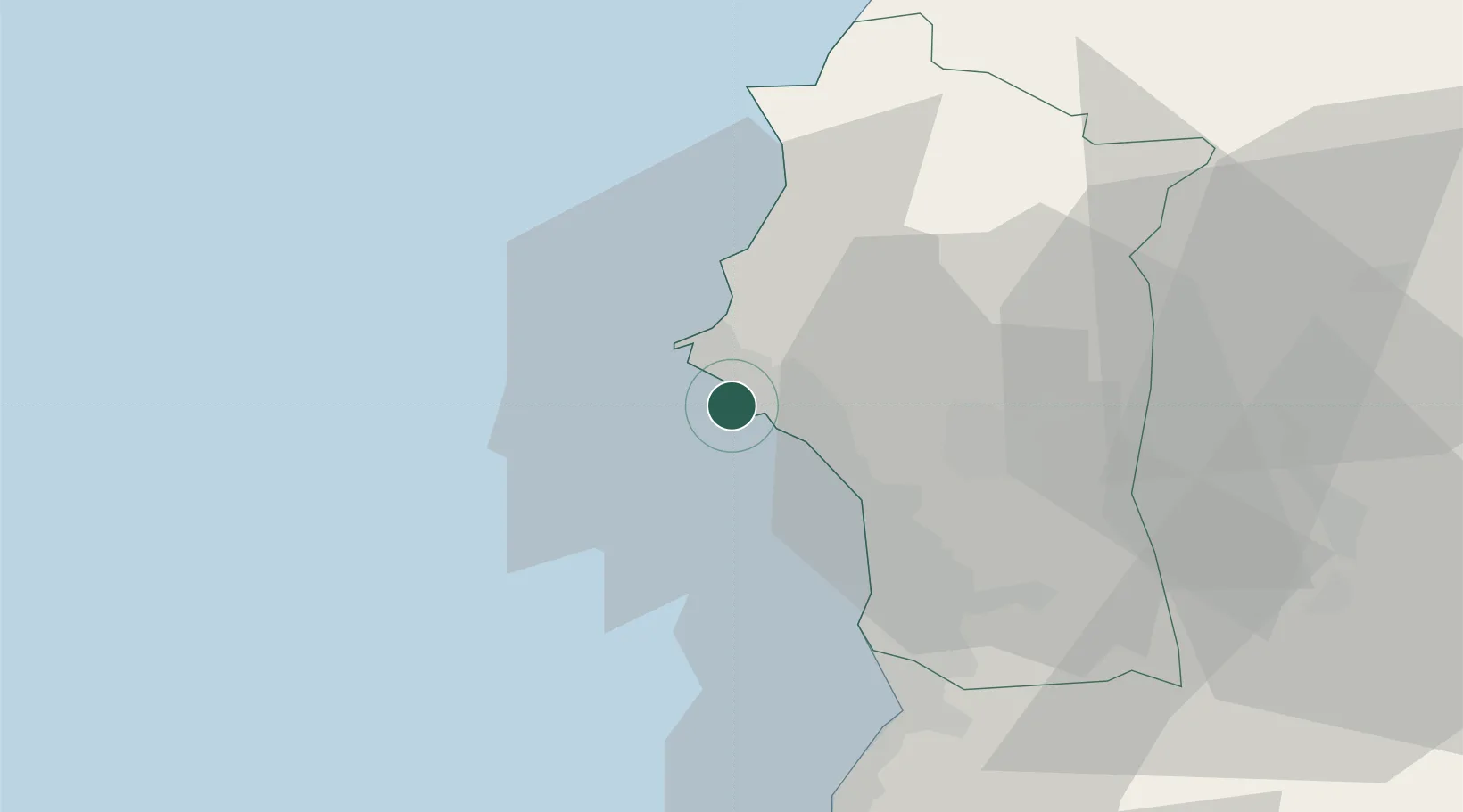
Location
Nearby Logistics Neighbours
Cities
- 1Latakia2 km
- 2Baniyas40 km
- 3Brummana44 km
- 4Tartus Oil Terminal62 km
- 5Kuyubasi66 km
Ports
- 1Baniyas39 km
- 2Tartus69 km
- 3Tarabulus119 km
- 4Iskenderun125 km
- 5Selaata138 km
Airports
- 1Latakia International Airport20 km
- 2Hatay Airport104 km
- 3Rene Mouawad Air Base105 km
- 4Abu ad Duhur Air Base122 km
- 5Al Qusayr Air Base128 km
Trade Zones
DatabookThe Record of Consolidated Knowledge
Syria beyond logistics?