UN/LOCODE hub · Syria
SYLTK
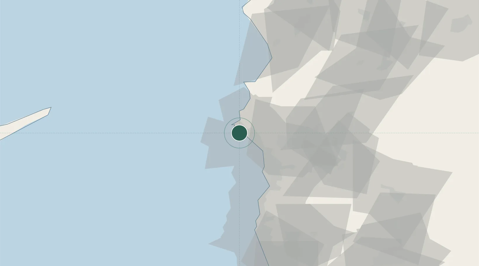
Latakia
35.5306°, 35.7726°
709,000
Population
2
Transport functions
1
Container terminals
Transport Functions
Port
Airport
Hub Profile
Place type
Regional capital
Region
Latakia
Population
709,000
Time zone
Asia/Damascus
Elevation
29 m
Logistics facilities
3
Container terminals
1
Location
Nearby Logistics Neighbours
Cities
- 1Al Ladhiqiyah2 km
- 2Brummana42 km
- 3Baniyas42 km
- 4Tartus Oil Terminal64 km
- 5Kuyubasi66 km
Ports
- 1Al Ladhiqiyah1 km
- 2Baniyas41 km
- 3Tartus71 km
- 4Tarabulus120 km
- 5Iskenderun124 km
Airports
- 1Latakia International Airport22 km
- 2Hatay Airport103 km
- 3Rene Mouawad Air Base107 km
- 4Abu ad Duhur Air Base122 km
- 5Al Qusayr Air Base129 km
Trade Zones
DatabookThe Record of Consolidated Knowledge
Syria beyond logistics?