Medium airport · Syria

Latakia International AirportOSLK
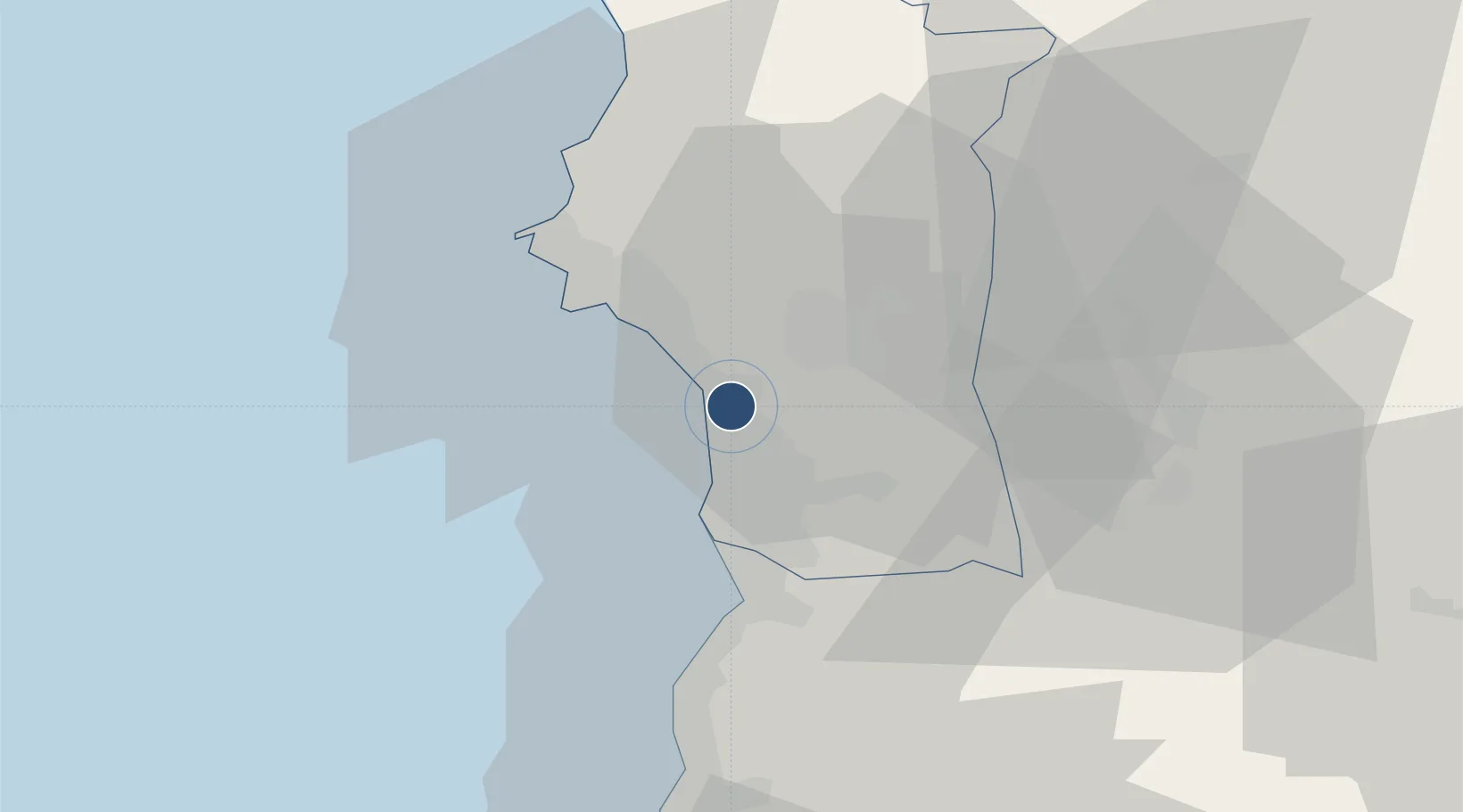
35.4011°, 35.9487°
9,175 ft
Longest runway
1
Runways
157 ft
Elevation

Runway & Layout

Latakia International Airport runway & taxiway layout
Runway & taxiway layout — OpenStreetMap (ODbL) / OurAirports

Radio Frequencies

TWR
118.1 MHz
APP
120 MHz
OurAirports

Navaids

BAN NDB Banias 304 kHz
LTK VOR-DME Bassel Al Assad 114.80 MHz
LTK NDB Bassel Al Assad 414 kHz
OurAirports

Runways · 1

RunwayDimensions SurfaceTrue headingLit
17/35 9,175 × 148ft Asphalt 177°
OurAirports

Airport Specifications

IATA code
LTK
OurAirports
ICAO code
OSLK
OurAirports
Airport class
Medium airport
OurAirports
Scheduled service
Yes
OurAirports
Runway surface
Asphalt
OurAirports
Served city
Latakia
OurAirports

Location

Location of OSLK
Natural Earth 10m (public domain) · Lattakia · OSLK · 35.40, 35.95GoogleOSMYandex

Nearby Logistics Neighbours

Airports
  1. 1Rene Mouawad Air Base90 km
  2. 2Al Qusayr Air Base109 km
  3. 3Abu ad Duhur Air Base111 km
  4. 4Hatay Airport111 km
  5. 5Wujah Al Hajar Air Base127 km
Nearest neighbours — logibook spatial index (haversine) over the source coordinates
Cities
  1. 1Al Ladhiqiyah20 km
  2. 2Latakia22 km
  3. 3Baniyas24 km
  4. 4Tartus Oil Terminal49 km
  5. 5Tartus55 km
Nearest neighbours — logibook spatial index (haversine) over the source coordinates
Ports
  1. 1Al Ladhiqiyah22 km
  2. 2Baniyas24 km
  3. 3Tartus56 km
  4. 4Tarabulus106 km
  5. 5Selaata127 km
Nearest neighbours — logibook spatial index (haversine) over the source coordinates
Trade Zones
  1. 1LatakiaLattakia Free Zone18 km
  2. 2Latakia Lattakia Free Port22 km
  3. 3Tartous Tartus Free Zone55 km
  4. 4Tripoli Special Economic Zone106 km
  5. 5Iskenderun Organized Industrial Zone145 km
Nearest neighbours — logibook spatial index (haversine) over the source coordinates
DatabookThe Record of Consolidated Knowledge
Syria beyond logistics?
Browse databook

All Sources

AirportsOurAirports
Public domain
Portsthe NGA World Port Index
Public domain (US gov)
LocationsUN/LOCODE
UN/LOCODE — free
Trade Zonesthe World Bank SEZ database
CC BY 4.0
Trade ZonesOpen Zone Map
CC BY
InfrastructureOpenStreetMap
ODbL 1.0
← Syria airports