Medium airport · Syria
Abu ad Duhur Air BaseOS57
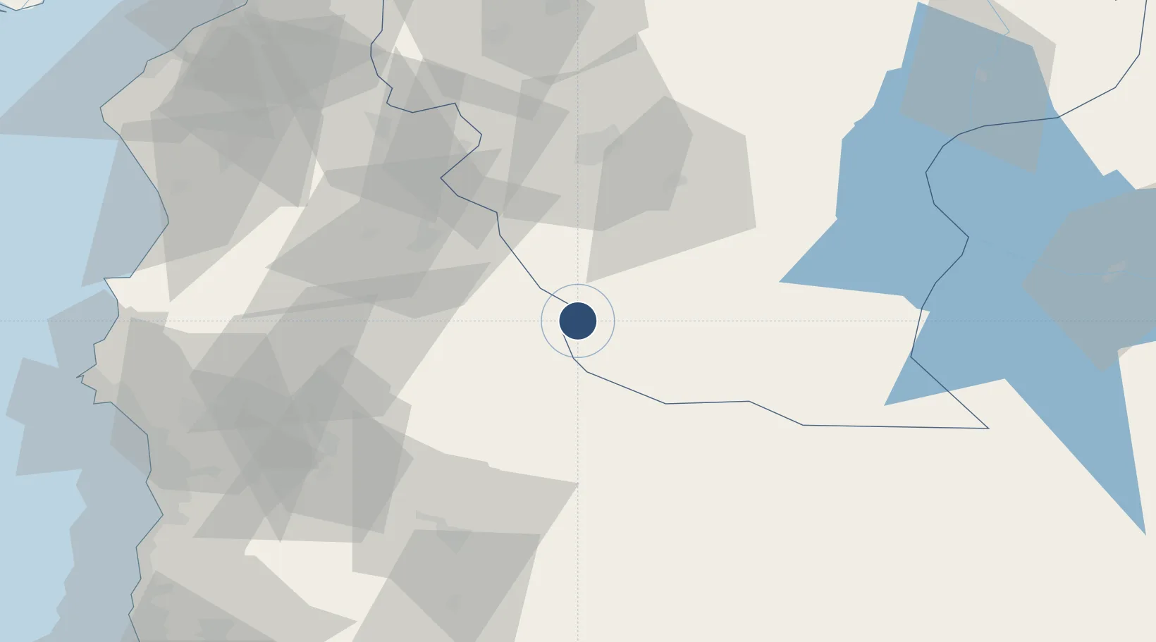
35.7322°, 37.1042°
9,810 ft
Longest runway
1
Runways
846 ft
Elevation
Runway & Layout

Runways · 1
| Runway | Dimensions | Surface | True heading | Lit |
|---|---|---|---|---|
| 09/27 | 9,810 × 135ft | Asphalt / concrete | 093° | — |
Airport Specifications
Airport class
Medium airport
Scheduled service
No
Runway surface
Asphalt / concrete
Served city
Abu ad Duhur
Location
Nearby Logistics Neighbours
Airports
- 1Aleppo International Airport51 km
- 2Hatay Airport102 km
- 3Latakia International Airport111 km
- 4Al Qusayr Air Base138 km
- 5Gaziantep Oğuzeli International Airport139 km
Cities
- 1Kuyubasi80 km
- 2Harbiye98 km
- 3Homs117 km
- 4Baniyas121 km
- 5Al Ladhiqiyah122 km
Ports
- 1Baniyas121 km
- 2Al Ladhiqiyah123 km
- 3Iskenderun128 km
- 4Yakacik137 km
- 5Tartus146 km
Trade Zones
- 1Aleppo Free Zone60 km
- 2LatakiaLattakia Free Zone115 km
- 3Latakia Lattakia Free Port123 km
- 4Iskenderun Organized Industrial Zone133 km
- 5Tartous Tartus Free Zone144 km
DatabookThe Record of Consolidated Knowledge
Syria beyond logistics?