Channel & Berth Profile
Pilotage, Tugs & Services
Pilotage compulsoryNO
Pilotage availableYES
Pilotage advisableYES
Tug assistanceNO
Salvage tugsNO
Shore powerYES
Potable waterYES
Diesel bunkersYES
Garbage disposalNO
Facilities & Capabilities
Container—
Ro-Ro—
Liquid bulk—
Dry bulk—
Oil terminal—
Break bulk—
Dry dock—
RepairsNO
BunkeringNO
Rail link—
Dangerous cargo—
ISPS security—
Harbour Specifications
Harbour size
Very Small
Harbour type
Coastal (Natural)
Shelter
Good
Water body
Solomon Sea; South Pacific Ocean
Tidal range
1 m
Pilotage
No
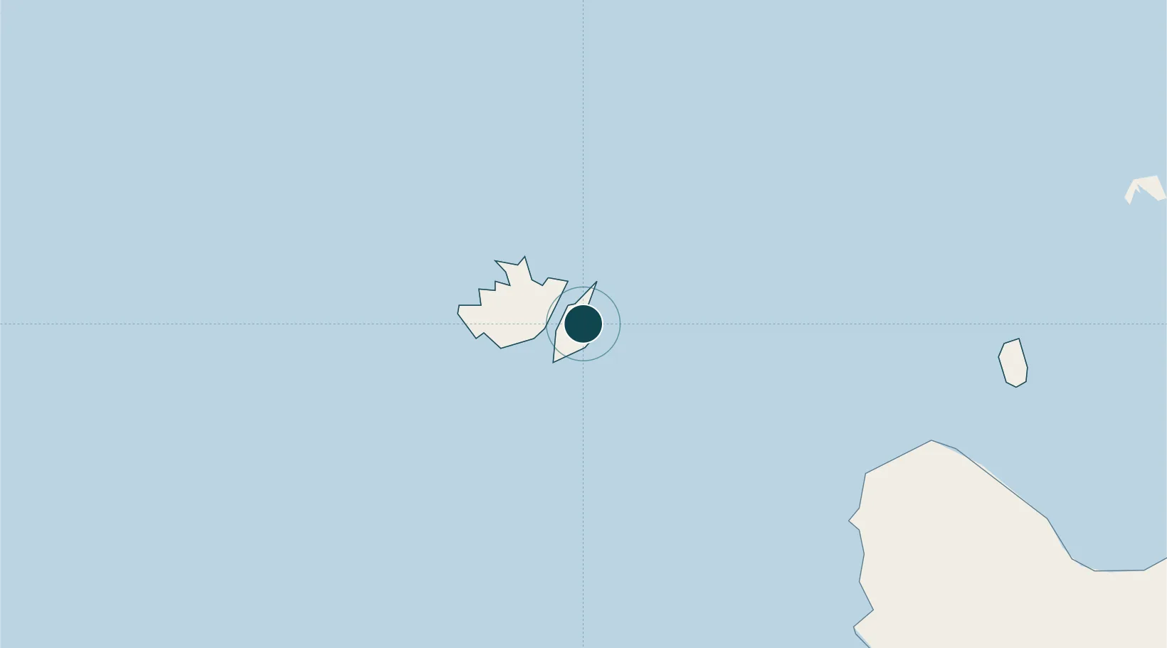
Location
Nearby Logistics Neighbours
Ports
- 1Honiara89 km
- 2Tulaghi103 km
- 3Port Noro243 km
- 4Ringgi Cove256 km
- 5Gizo Harbor282 km
Cities
- 1Honiara, Guadalcanal Is90 km
- 2Lever Harbour214 km
- 3Noro, New Georgia241 km
- 4Ringgi Cove, Kolombangara255 km
- 5Gizo282 km
Airports
- 1Yandina Airport1 km
- 2Honiara International Airport100 km
- 3Fera/Maringe Airport116 km
- 4Gatokae Aerodrome118 km
- 5Gwaunaru'u Airport167 km
Trade Zones
DatabookThe Record of Consolidated Knowledge
Solomon Islands beyond logistics?