Small airport · Solomon Islands

Gatokae AerodromeAGOK
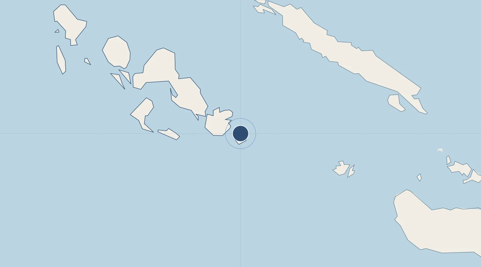
-8.7384°, 158.2028°
1,936 ft
Longest runway
1
Runways
70 ft
Elevation

Runway & Layout

Gatokae Aerodrome runway & taxiway layout
Runway & taxiway layout — OpenStreetMap (ODbL) / OurAirports

Runways · 1

RunwayDimensions SurfaceTrue headingLit
07/25 1,936 × 121ft Gravel
OurAirports

Airport Specifications

IATA code
GTA
OurAirports
ICAO code
AGOK
OurAirports
Airport class
Small airport
OurAirports
Scheduled service
Yes
OurAirports
Runway surface
Gravel
OurAirports
Served city
Gatokae
OurAirports

Location

Location of AGOK
Natural Earth 10m (public domain) · Western · AGOK · -8.74, 158.20GoogleOSMYandex

Nearby Logistics Neighbours

Airports
  1. 1Ramata Airport88 km
  2. 2Munda Airport113 km
  3. 3Yandina Airport118 km
  4. 4Suavanao Airport141 km
  5. 5Nusatupe Airport164 km
Nearest neighbours — logibook spatial index (haversine) over the source coordinates
Cities
  1. 1Lever Harbour104 km
  2. 2Yandina, Russell Island119 km
  3. 3Noro, New Georgia124 km
  4. 4Ringgi Cove, Kolombangara138 km
  5. 5Gizo165 km
Nearest neighbours — logibook spatial index (haversine) over the source coordinates
Ports
  1. 1Yandina118 km
  2. 2Port Noro126 km
  3. 3Ringgi Cove140 km
  4. 4Gizo Harbor165 km
  5. 5Honiara206 km
Nearest neighbours — logibook spatial index (haversine) over the source coordinates
Trade Zones
  1. 1Tulagi Island Special Economic Zone216 km
  2. 2Bana (Bougainville) Special Economic Zone580 km
  3. 3Ledger Atlas Special Economic Zone1166 km
  4. 4Paga Hill Estate Special Economic Zone1217 km
  5. 5Vanuatu Economic Development Zone1231 km
Nearest neighbours — logibook spatial index (haversine) over the source coordinates
DatabookThe Record of Consolidated Knowledge
Solomon Islands beyond logistics?
Browse databook

All Sources

AirportsOurAirports
Public domain
Portsthe NGA World Port Index
Public domain (US gov)
LocationsUN/LOCODE
UN/LOCODE — free
Trade Zonesthe World Bank SEZ database
CC BY 4.0
Trade ZonesOpen Zone Map
CC BY
InfrastructureOpenStreetMap
ODbL 1.0
← Solomon Islands airports