Large airport · Solomon Islands

Honiara International AirportAGGH
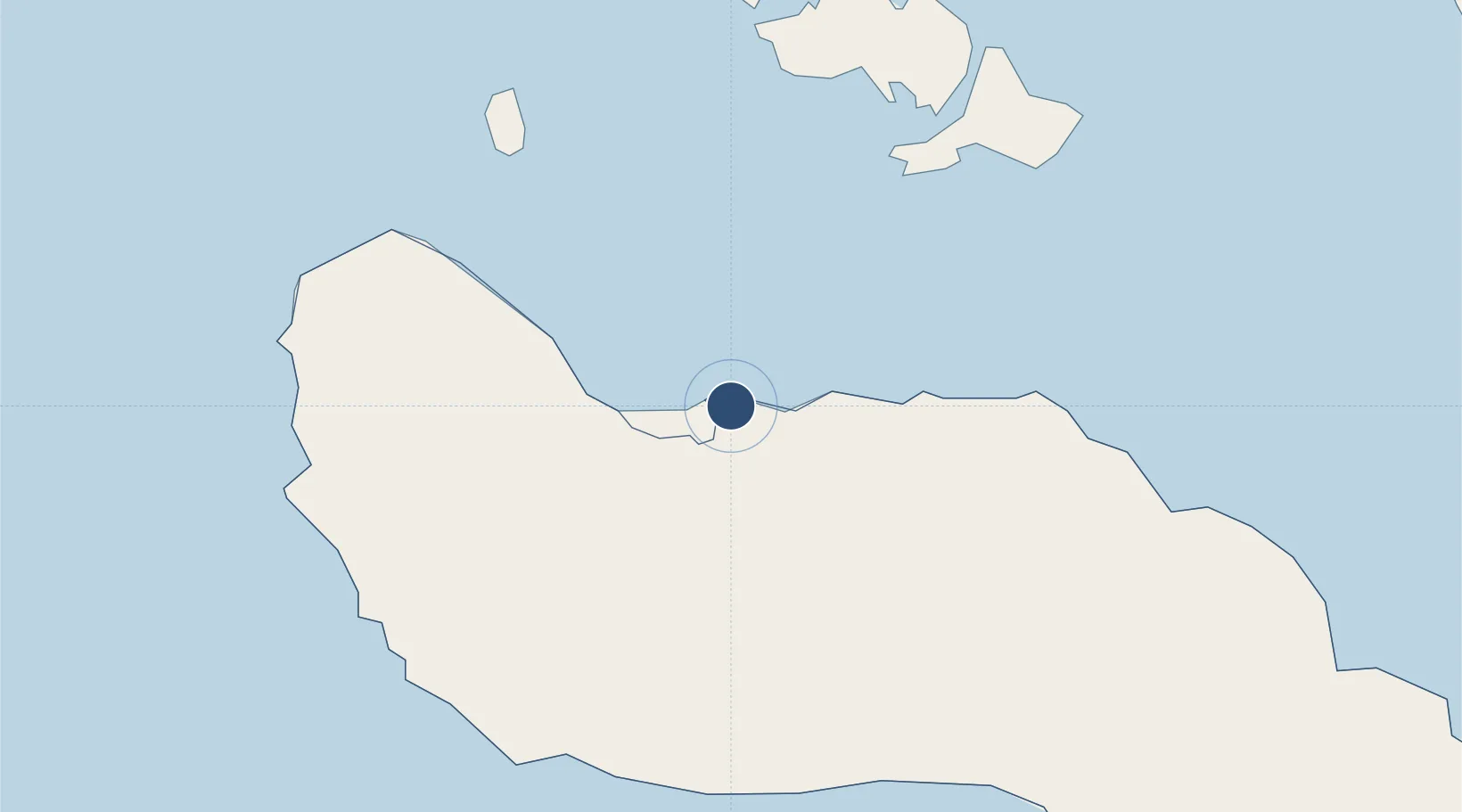
-9.4280°, 160.0550°
7,218 ft
Longest runway
1
Runways
28 ft
Elevation

Runway & Layout

Honiara International Airport runway & taxiway layout
Runway & taxiway layout — OpenStreetMap (ODbL) / OurAirports

Radio Frequencies

AFIS
118.1 MHz
INFO
INFO
342.5 MHz
OurAirports

Navaids

HN VOR-DME Honiara 112.60 MHz
HN NDB Honiara 348 kHz
OurAirports

Runways · 1

RunwayDimensions SurfaceTrue headingLit
06/24 7,218 × 148ft Asphalt 068°
OurAirports

Airport Specifications

IATA code
HIR
OurAirports
ICAO code
AGGH
OurAirports
Airport class
Large airport
OurAirports
Scheduled service
Yes
OurAirports
Runway surface
Asphalt
OurAirports
Served city
Honiara
OurAirports

Location

Location of AGGH
Natural Earth 10m (public domain) · Guadalcanal · AGGH · -9.43, 160.05GoogleOSMYandex

Nearby Logistics Neighbours

Airports
  1. 1Marau Airport97 km
  2. 2Yandina Airport99 km
  3. 3Gwaunaru'u Airport106 km
  4. 4Manaoba Airport148 km
  5. 5Fera/Maringe Airport156 km
Nearest neighbours — logibook spatial index (haversine) over the source coordinates
Cities
  1. 1Honiara, Guadalcanal Is11 km
  2. 2Yandina, Russell Island98 km
  3. 3Lever Harbour312 km
  4. 4Noro, New Georgia341 km
  5. 5Ringgi Cove, Kolombangara354 km
Nearest neighbours — logibook spatial index (haversine) over the source coordinates
Ports
  1. 1Honiara12 km
  2. 2Tulaghi38 km
  3. 3Yandina100 km
  4. 4Port Noro343 km
  5. 5Ringgi Cove356 km
Nearest neighbours — logibook spatial index (haversine) over the source coordinates
Trade Zones
  1. 1Tulagi Island Special Economic Zone37 km
  2. 2Bana (Bougainville) Special Economic Zone782 km
  3. 3Vanuatu Economic Development Zone1026 km
  4. 4Ledger Atlas Special Economic Zone1381 km
  5. 5Paga Hill Estate Special Economic Zone1416 km
Nearest neighbours — logibook spatial index (haversine) over the source coordinates
DatabookThe Record of Consolidated Knowledge
Solomon Islands beyond logistics?
Browse databook

All Sources

AirportsOurAirports
Public domain
Portsthe NGA World Port Index
Public domain (US gov)
LocationsUN/LOCODE
UN/LOCODE — free
Trade Zonesthe World Bank SEZ database
CC BY 4.0
Trade ZonesOpen Zone Map
CC BY
InfrastructureOpenStreetMap
ODbL 1.0
← Solomon Islands airports