Channel & Berth Profile
Pilotage, Tugs & Services
Pilotage availableYES
Shore powerYES
Potable waterNO
Diesel bunkersNO
MedicalYES
Garbage disposalNO
Facilities & Capabilities
Container—
Ro-Ro—
Liquid bulk—
Dry bulk—
Oil terminal—
Break bulk—
Dry dock—
RepairsNO
BunkeringNO
Rail link—
Dangerous cargo—
ISPS security—
Harbour Specifications
Harbour size
Very Small
Harbour type
Coastal (Natural)
Shelter
Good
Water body
Solomon Sea; South Pacific Ocean
Tidal range
1 m
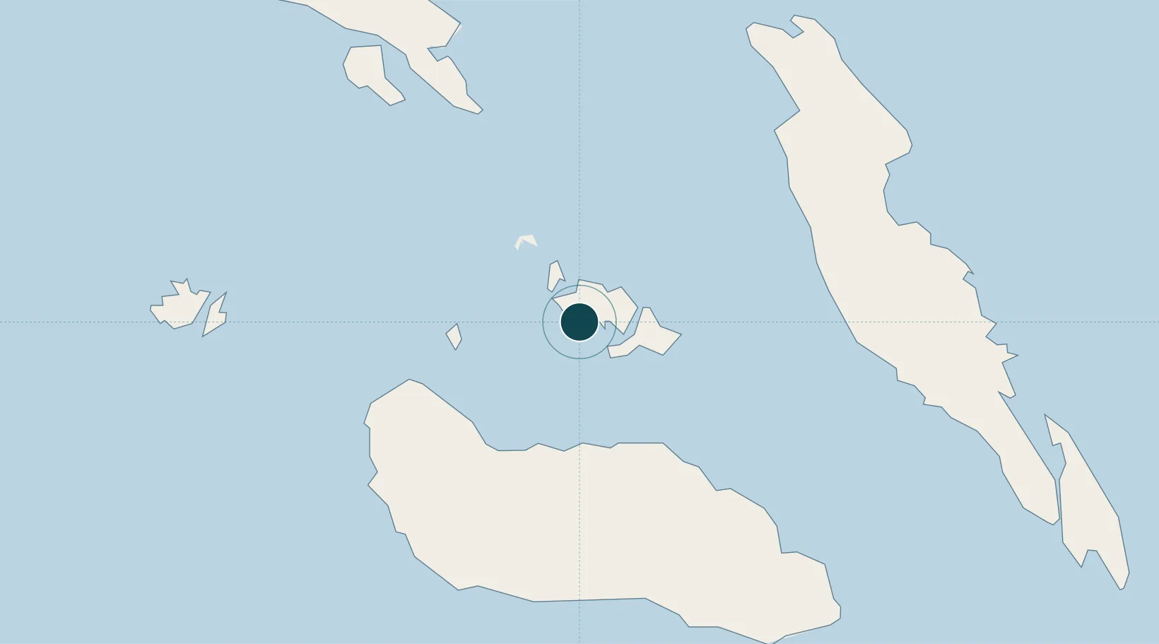
Location
Nearby Logistics Neighbours
Ports
- 1Honiara42 km
- 2Yandina103 km
- 3Port Noro341 km
- 4Ringgi Cove353 km
- 5Gizo Harbor380 km
Cities
- 1Honiara, Guadalcanal Is42 km
- 2Yandina, Russell Island103 km
- 3Lever Harbour305 km
- 4Noro, New Georgia339 km
- 5Ringgi Cove, Kolombangara351 km
Airports
- 1Honiara International Airport38 km
- 2Gwaunaru'u Airport73 km
- 3Yandina Airport102 km
- 4Manaoba Airport112 km
- 5Marau Airport113 km
Trade Zones
DatabookThe Record of Consolidated Knowledge
Solomon Islands beyond logistics?