Channel & Berth Profile
Pilotage, Tugs & Services
Pilotage compulsoryNO
Pilotage availableYES
Local assistanceYES
Shore powerYES
Potable waterYES
Diesel bunkersNO
MedicalYES
Garbage disposalNO
Facilities & Capabilities
Container—
Ro-Ro—
Liquid bulk—
Dry bulk—
Oil terminal—
Break bulk—
Dry dock—
RepairsNO
BunkeringYES
Rail link—
Dangerous cargo—
ISPS security—
Harbour Specifications
Harbour size
Very Small
Harbour type
Coastal (Natural)
Shelter
Excellent
Water body
Solomon Sea; South Pacific Ocean
Tidal range
1 m
Pilotage
No
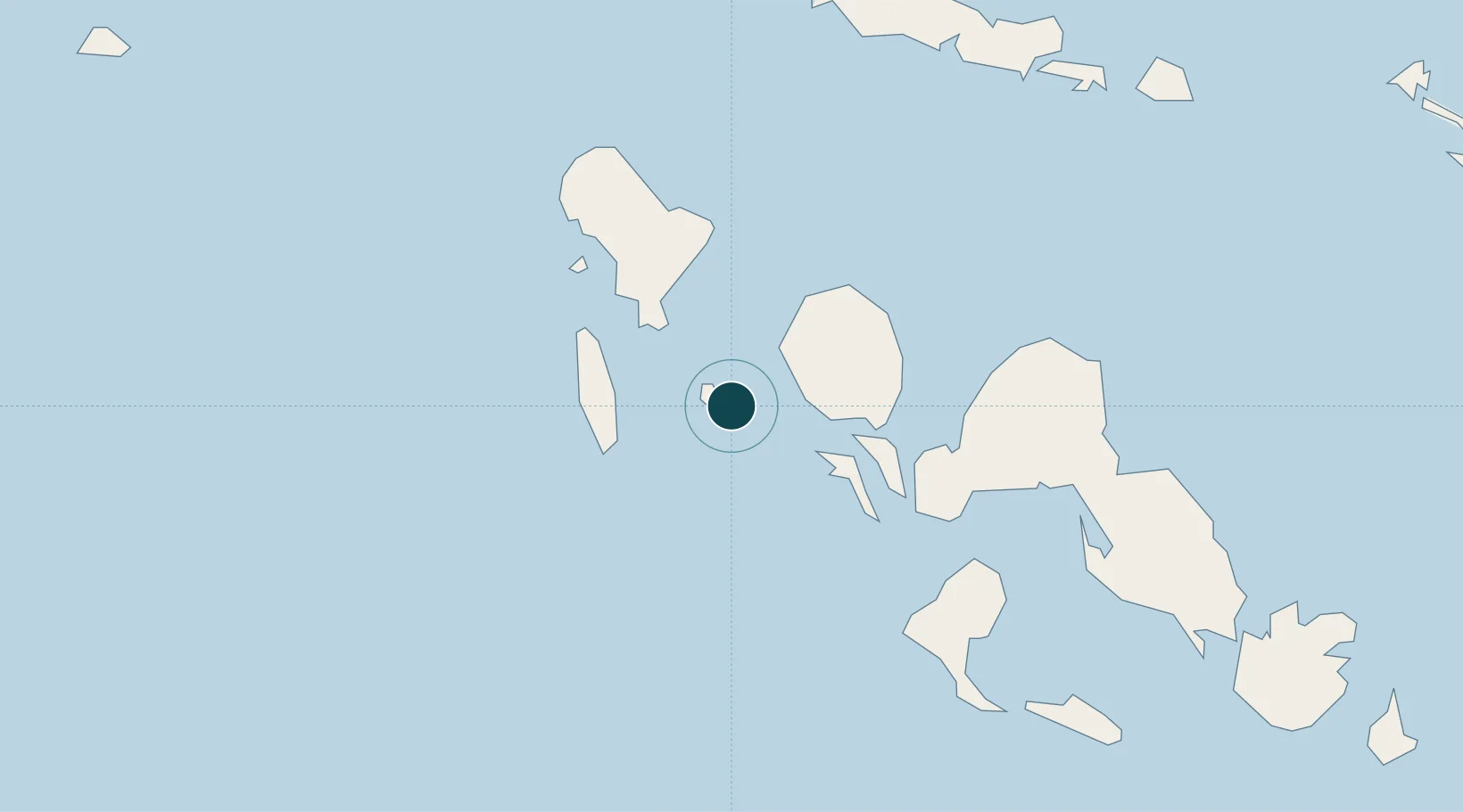
Location
Nearby Logistics Neighbours
Ports
- 1Ringgi Cove28 km
- 2Port Noro39 km
- 3Kieta249 km
- 4Yandina282 km
- 5Honiara371 km
Cities
- 1Ringgi Cove, Kolombangara29 km
- 2Noro, New Georgia41 km
- 3Lever Harbour83 km
- 4Shortland Harbour157 km
- 5Choiseul Bay162 km
Airports
- 1Nusatupe Airport2 km
- 2Munda Airport52 km
- 3Ramata Airport88 km
- 4Kaghau Airport118 km
- 5Mono Airport161 km
Trade Zones
DatabookThe Record of Consolidated Knowledge
Solomon Islands beyond logistics?