UN/LOCODE hub · Solomon Islands
SBNOR
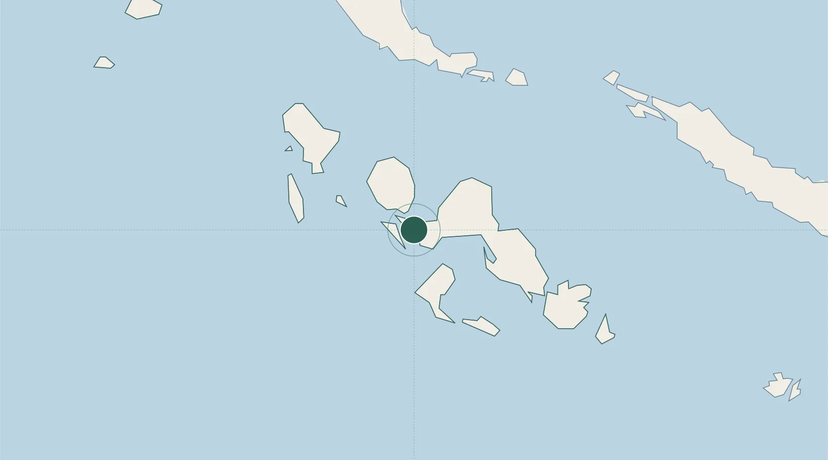
Noro, New Georgia
-8.2356°, 157.1969°
1
Transport functions
1
Container terminals
Transport Functions
Port
Hub Profile
Logistics facilities
1
Container terminals
1
Location
Nearby Logistics Neighbours
Cities
- 1Ringgi Cove, Kolombangara16 km
- 2Gizo41 km
- 3Lever Harbour51 km
- 4Choiseul Bay190 km
- 5Shortland Harbour195 km
Ports
- 1Ringgi Cove17 km
- 2Gizo Harbor41 km
- 3Yandina241 km
- 4Kieta283 km
- 5Honiara330 km
Airports
- 1Munda Airport13 km
- 2Nusatupe Airport40 km
- 3Ramata Airport50 km
- 4Kaghau Airport109 km
- 5Gatokae Aerodrome124 km
Trade Zones
DatabookThe Record of Consolidated Knowledge
Solomon Islands beyond logistics?