UN/LOCODE hub · Solomon Islands
SBGZO

Gizo

-8.1000°, 156.8500°
7,177
Population
2
Transport functions

Transport Functions

Port
Airport
Gizo is also a profiled seaport →
UN/LOCODE

Hub Profile

Place type
Regional capital
GeoNames
Region
Western Province
GeoNames
Population
7,177
GeoNames
Time zone
Pacific/Guadalcanal
GeoNames
Elevation
6 m
GeoNames

Location

Location of SBGZO
Natural Earth 10m (public domain) · Western Province · SBGZO · -8.10, 156.85GoogleOSMYandex

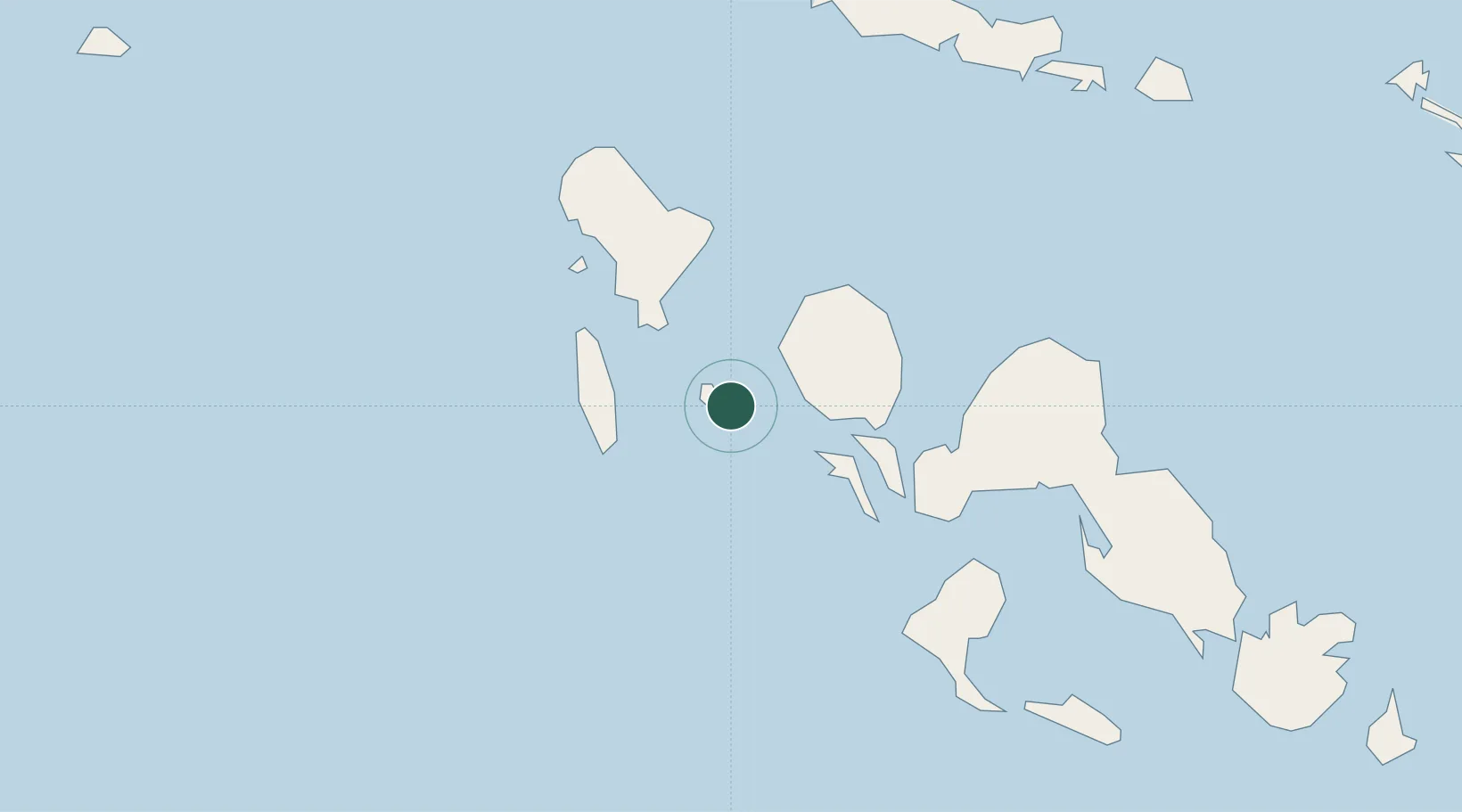
Nearby Logistics Neighbours

Cities
  1. 1Ringgi Cove, Kolombangara29 km
  2. 2Noro, New Georgia41 km
  3. 3Lever Harbour83 km
  4. 4Shortland Harbour157 km
  5. 5Choiseul Bay162 km
Nearest neighbours — logibook spatial index (haversine) over the source coordinates
Ports
  1. 1Ringgi Cove28 km
  2. 2Port Noro39 km
  3. 3Kieta249 km
  4. 4Yandina282 km
  5. 5Honiara371 km
Nearest neighbours — logibook spatial index (haversine) over the source coordinates
Airports
  1. 1Nusatupe Airport2 km
  2. 2Munda Airport52 km
  3. 3Ramata Airport88 km
  4. 4Kaghau Airport118 km
  5. 5Mono Airport161 km
Nearest neighbours — logibook spatial index (haversine) over the source coordinates
Trade Zones
  1. 1Tulagi Island Special Economic Zone378 km
  2. 2Bana (Bougainville) Special Economic Zone429 km
  3. 3Ledger Atlas Special Economic Zone1007 km
  4. 4Paga Hill Estate Special Economic Zone1078 km
  5. 5Nadzab (Momase) Special Economic Zone1121 km
Nearest neighbours — logibook spatial index (haversine) over the source coordinates
DatabookThe Record of Consolidated Knowledge
Solomon Islands beyond logistics?
Browse databook

All Sources

LocationsUN/LOCODE
UN/LOCODE — free
LocationsGeoNames
CC BY 4.0
Portsthe NGA World Port Index
Public domain (US gov)
AirportsOurAirports
Public domain
Trade Zonesthe World Bank SEZ database
CC BY 4.0
Trade ZonesOpen Zone Map
CC BY
← Solomon Islands locations