Channel & Berth Profile
Pilotage, Tugs & Services
Pilotage availableNO
Facilities & Capabilities
Container—
Ro-Ro—
Liquid bulk—
Dry bulk—
Oil terminal—
Break bulk—
Dry dock—
Repairs—
BunkeringYES
Rail link—
Dangerous cargo—
ISPS security—
Harbour Specifications
Harbour size
Small
Harbour type
Coastal (Natural)
Shelter
Fair
Water body
Solomon Sea; South Pacific Ocean
Tidal range
1 m
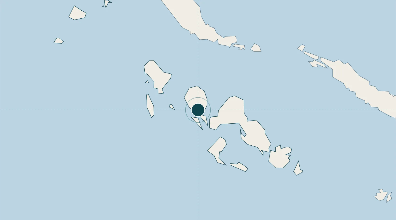
Location
Nearby Logistics Neighbours
Ports
- 1Port Noro14 km
- 2Gizo Harbor28 km
- 3Yandina256 km
- 4Kieta266 km
- 5Honiara345 km
Cities
- 1Noro, New Georgia17 km
- 2Gizo28 km
- 3Lever Harbour56 km
- 4Choiseul Bay174 km
- 5Shortland Harbour178 km
Airports
- 1Nusatupe Airport26 km
- 2Munda Airport30 km
- 3Ramata Airport60 km
- 4Kaghau Airport103 km
- 5Gatokae Aerodrome140 km
Trade Zones
DatabookThe Record of Consolidated Knowledge
Solomon Islands beyond logistics?