UN/LOCODE hub · Solomon Islands
SBXYA
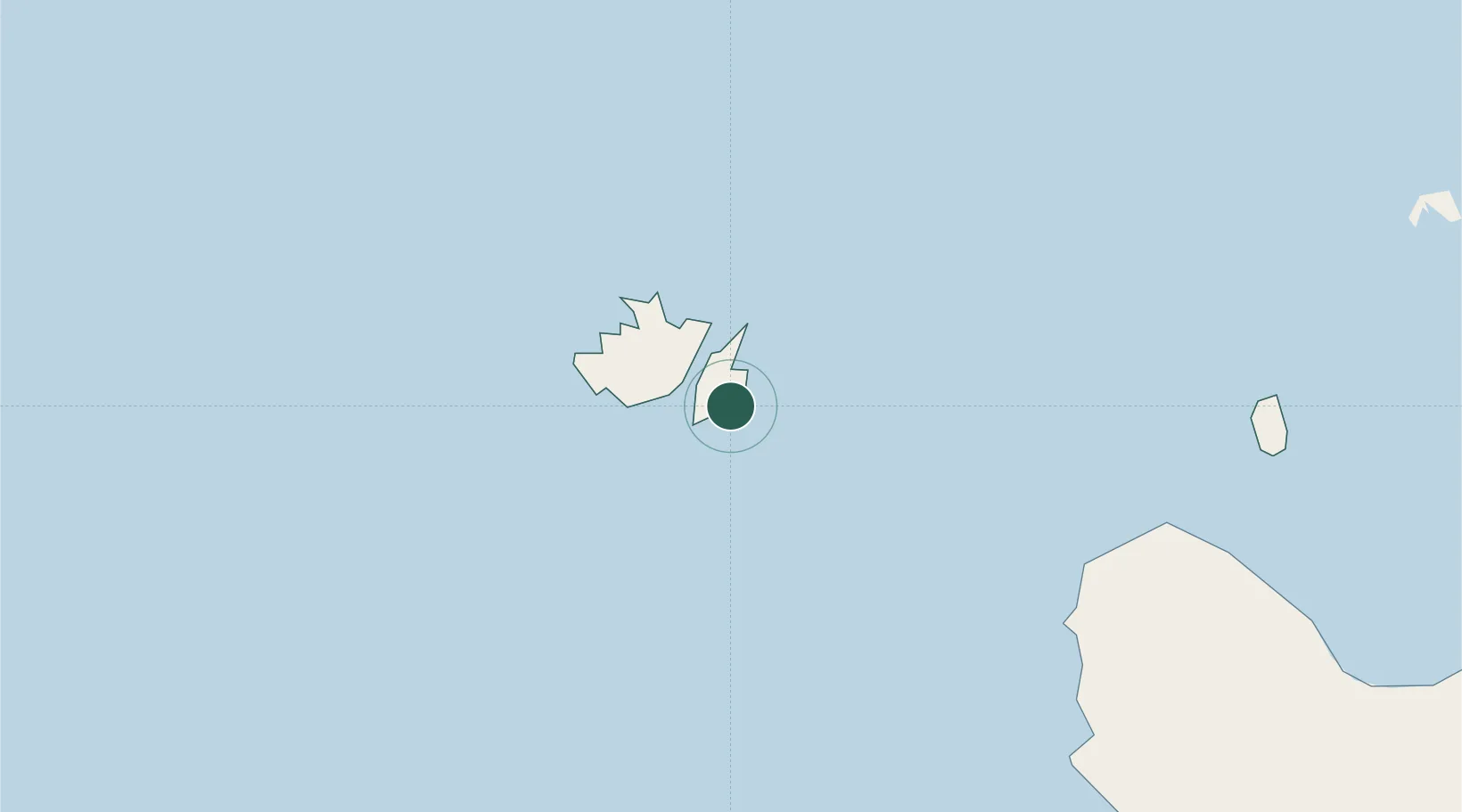
Yandina, Russell Island
-9.1167°, 159.2167°
3
Transport functions
Transport Functions
Port
Road
Airport
Location
Nearby Logistics Neighbours
Cities
- 1Honiara, Guadalcanal Is89 km
- 2Lever Harbour216 km
- 3Noro, New Georgia243 km
- 4Ringgi Cove, Kolombangara256 km
- 5Gizo284 km
Ports
- 1Honiara87 km
- 2Tulaghi103 km
- 3Port Noro245 km
- 4Ringgi Cove258 km
- 5Gizo Harbor284 km
Airports
- 1Yandina Airport3 km
- 2Honiara International Airport98 km
- 3Fera/Maringe Airport119 km
- 4Gatokae Aerodrome119 km
- 5Gwaunaru'u Airport167 km
Trade Zones
DatabookThe Record of Consolidated Knowledge
Solomon Islands beyond logistics?