Small airport · Solomon Islands

Fera/Maringe AirportAGGF
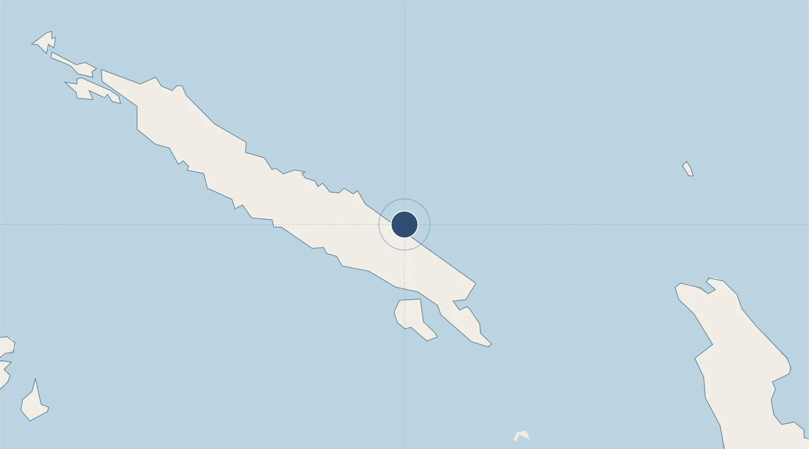
-8.1075°, 159.5770°
1,854 ft
Longest runway
1
Runways
9 ft
Elevation

Runway & Layout

Fera/Maringe Airport runway & taxiway layout
Runway & taxiway layout — OpenStreetMap (ODbL) / OurAirports

Runways · 1

RunwayDimensions SurfaceTrue headingLit
18/36 1,854 × 82ft Grass
OurAirports

Airport Specifications

IATA code
FRE
OurAirports
ICAO code
AGGF
OurAirports
Airport class
Small airport
OurAirports
Scheduled service
Yes
OurAirports
Runway surface
Grass
OurAirports
Served city
Fera Island
OurAirports

Location

Location of AGGF
Natural Earth 10m (public domain) · Isabel · AGGF · -8.11, 159.58GoogleOSMYandex

Nearby Logistics Neighbours

Airports
  1. 1Suavanao Airport110 km
  2. 2Yandina Airport116 km
  3. 3Manaoba Airport137 km
  4. 4Gwaunaru'u Airport138 km
  5. 5Honiara International Airport156 km
Nearest neighbours — logibook spatial index (haversine) over the source coordinates
Cities
  1. 1Yandina, Russell Island119 km
  2. 2Honiara, Guadalcanal Is153 km
  3. 3Lever Harbour218 km
  4. 4Noro, New Georgia262 km
  5. 5Ringgi Cove, Kolombangara271 km
Nearest neighbours — logibook spatial index (haversine) over the source coordinates
Ports
  1. 1Yandina116 km
  2. 2Tulaghi127 km
  3. 3Honiara151 km
  4. 4Port Noro264 km
  5. 5Ringgi Cove273 km
Nearest neighbours — logibook spatial index (haversine) over the source coordinates
Trade Zones
  1. 1Tulagi Island Special Economic Zone127 km
  2. 2Bana (Bougainville) Special Economic Zone654 km
  3. 3Vanuatu Economic Development Zone1166 km
  4. 4Ledger Atlas Special Economic Zone1305 km
  5. 5Paga Hill Estate Special Economic Zone1375 km
Nearest neighbours — logibook spatial index (haversine) over the source coordinates
DatabookThe Record of Consolidated Knowledge
Solomon Islands beyond logistics?
Browse databook

All Sources

AirportsOurAirports
Public domain
Portsthe NGA World Port Index
Public domain (US gov)
LocationsUN/LOCODE
UN/LOCODE — free
Trade Zonesthe World Bank SEZ database
CC BY 4.0
Trade ZonesOpen Zone Map
CC BY
InfrastructureOpenStreetMap
ODbL 1.0
← Solomon Islands airports