Free Trade Zone · Vanuatu
Vanuatu Economic Development Zone Under Development
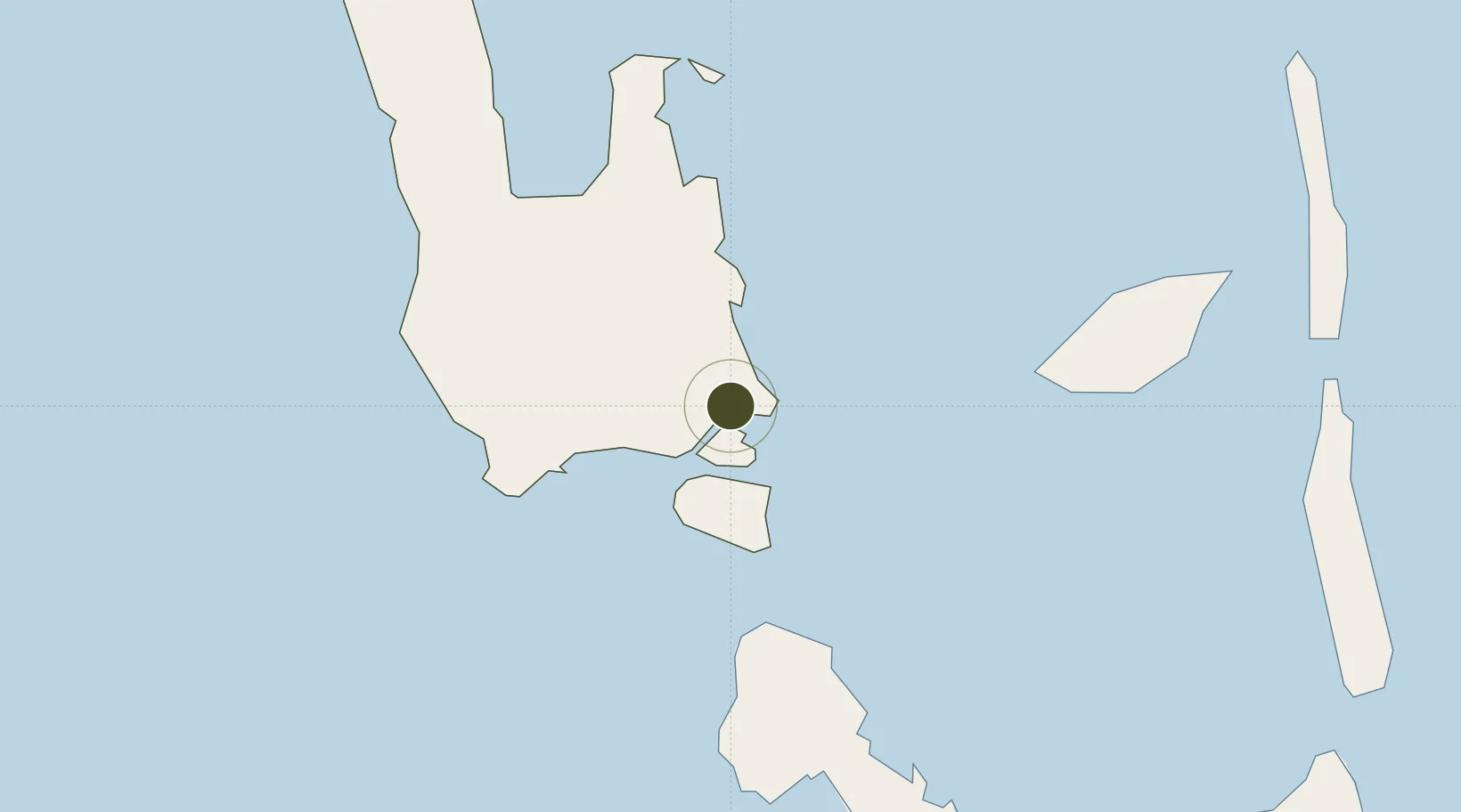
-15.5070°, 167.1673°
50 ha
Zone area
1.1 km
Nearest port
5.6 km
Nearest airport
Gateway access
Zone profile
Zone type
Free Trade Zone
Region
Sanma
Status
Under Development
Management
Public-Private Partnership
Operator
Ministry of Tourism, Trade, Commerce, & Ni-Vanuatu Business
Legal framework
Government Approval of September 2016
Location
Nearby Logistics Neighbours
Ports
- 1Luganville1 km
- 2Port Vila276 km
- 3Baie Ugue650 km
- 4Baie De Kouaoua669 km
- 5Noumea757 km
Airports
- 1Santo Pekoa International Airport6 km
- 2Walaha Airport57 km
- 3Norsup Airport68 km
- 4Longana Airport89 km
- 5North West Santo Airport95 km
Cities
- 1Luganville3 km
- 2Havannah Harbour257 km
- 3Nemba551 km
- 4Lata553 km
- 5Wala598 km
Trade Zones
- 1Tulagi Island Special Economic Zone1044 km
- 2Lautoka Special Zone1119 km
- 3Rotuma-Kadavu Tax-Free Region1233 km
- 4Kalabu Tax Free Zone1238 km
- 5Nausori-Ba Tax-Free Region1241 km
DatabookThe Record of Consolidated Knowledge
Vanuatu beyond logistics?