UN/LOCODE hub · Solomon Islands
SBHIR
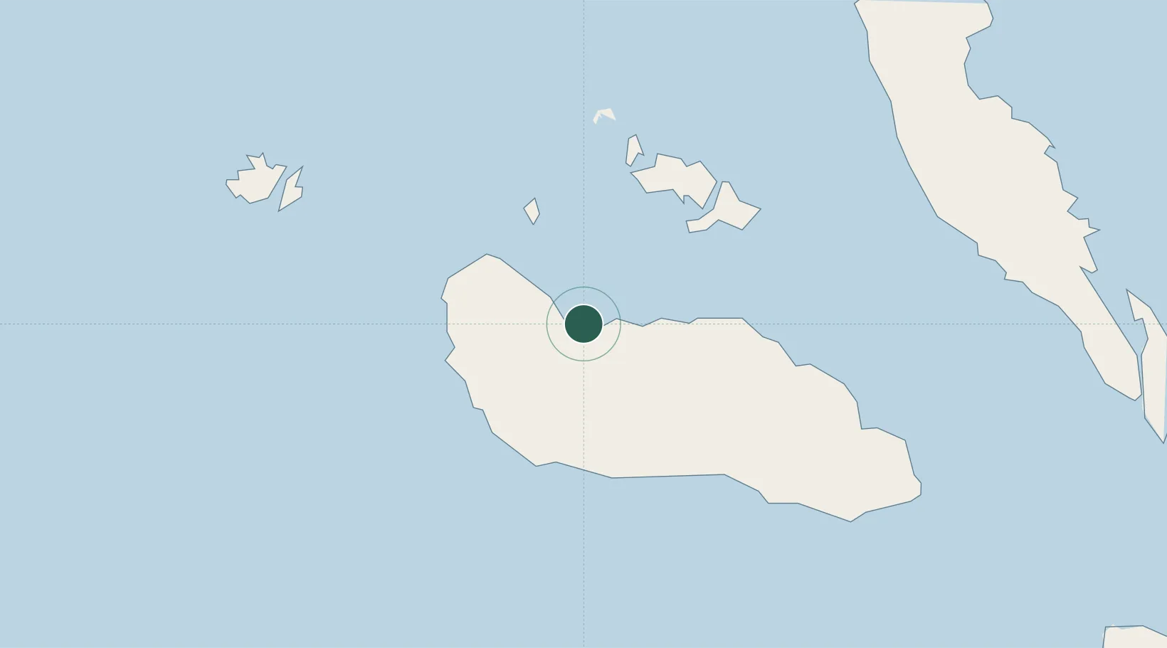
Honiara, Guadalcanal Is
-9.4279°, 159.9584°
3
Transport functions
1
Container terminals
Transport Functions
Port
Airport
Postal
Hub Profile
Logistics facilities
3
Container terminals
1
Location
Nearby Logistics Neighbours
Cities
- 1Yandina, Russell Island89 km
- 2Lever Harbour303 km
- 3Noro, New Georgia331 km
- 4Ringgi Cove, Kolombangara345 km
- 5Gizo372 km
Ports
- 1Tulaghi42 km
- 2Yandina90 km
- 3Port Noro333 km
- 4Ringgi Cove346 km
- 5Gizo Harbor372 km
Airports
- 1Honiara International Airport11 km
- 2Yandina Airport89 km
- 3Marau Airport107 km
- 4Gwaunaru'u Airport113 km
- 5Fera/Maringe Airport153 km
Trade Zones
DatabookThe Record of Consolidated Knowledge
Solomon Islands beyond logistics?