UN/LOCODE hub · Solomon Islands
SBLEV

Lever Harbour

-8.0167°, 157.6000°
1
Transport functions

Transport Functions

Port
UN/LOCODE

Location

Location of SBLEV
Natural Earth 10m (public domain) · Western · SBLEV · -8.02, 157.60GoogleOSMYandex

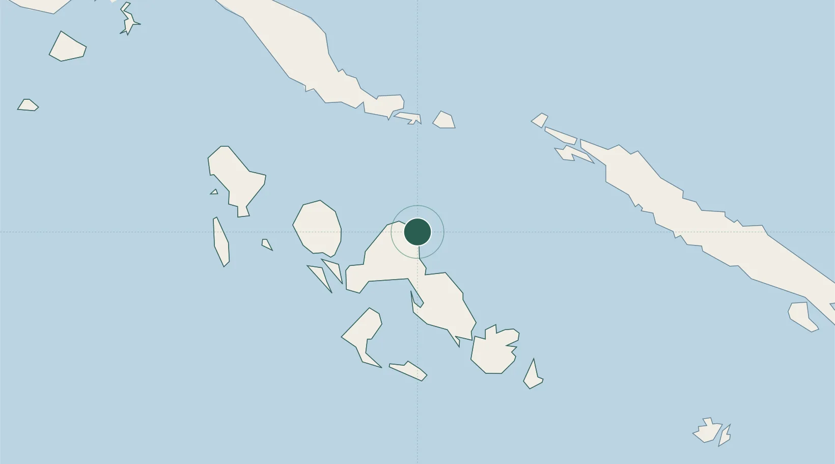
Nearby Logistics Neighbours

Cities
  1. 1Noro, New Georgia51 km
  2. 2Ringgi Cove, Kolombangara54 km
  3. 3Gizo83 km
  4. 4Choiseul Bay195 km
  5. 5Yandina, Russell Island216 km
Nearest neighbours — logibook spatial index (haversine) over the source coordinates
Ports
  1. 1Port Noro51 km
  2. 2Ringgi Cove56 km
  3. 3Gizo Harbor83 km
  4. 4Yandina214 km
  5. 5Kieta295 km
Nearest neighbours — logibook spatial index (haversine) over the source coordinates
Airports
  1. 1Ramata Airport18 km
  2. 2Munda Airport51 km
  3. 3Kaghau Airport76 km
  4. 4Nusatupe Airport82 km
  5. 5Gatokae Aerodrome104 km
Nearest neighbours — logibook spatial index (haversine) over the source coordinates
Trade Zones
  1. 1Tulagi Island Special Economic Zone304 km
  2. 2Bana (Bougainville) Special Economic Zone476 km
  3. 3Ledger Atlas Special Economic Zone1087 km
  4. 4Paga Hill Estate Special Economic Zone1161 km
  5. 5Nadzab (Momase) Special Economic Zone1202 km
Nearest neighbours — logibook spatial index (haversine) over the source coordinates
DatabookThe Record of Consolidated Knowledge
Solomon Islands beyond logistics?
Browse databook

All Sources

LocationsUN/LOCODE
UN/LOCODE — free
Portsthe NGA World Port Index
Public domain (US gov)
AirportsOurAirports
Public domain
Trade Zonesthe World Bank SEZ database
CC BY 4.0
Trade ZonesOpen Zone Map
CC BY
← Solomon Islands locations