Seaport · Solomon Islands
HoniaraSBHIR
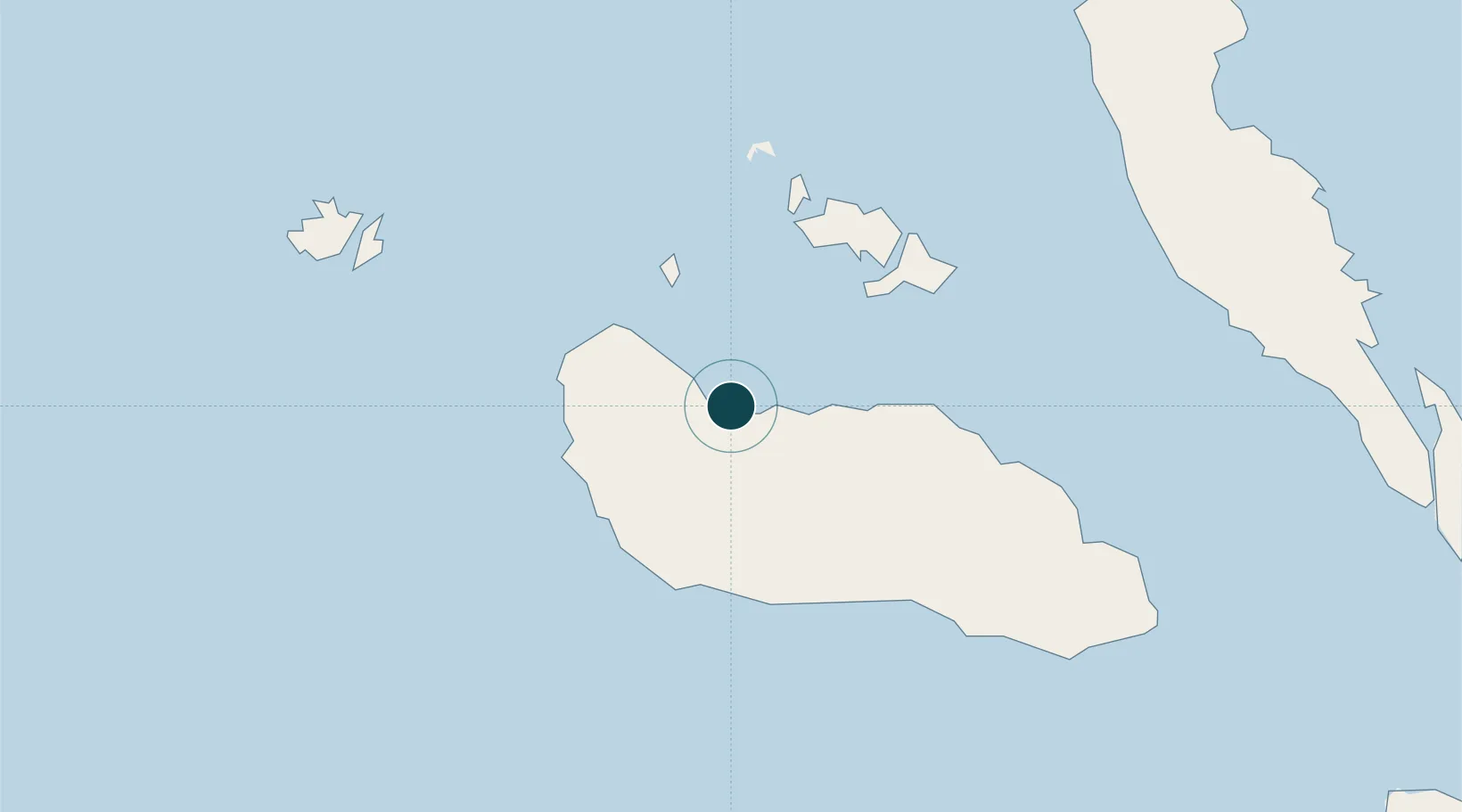
-9.4167°, 159.9500°
7.9 m
Channel depth
1
Container terminals
60.7
Port liner connectivity
Channel & Berth Profile
Pilotage, Tugs & Services
Pilotage compulsoryYES
Pilotage availableYES
Tug assistanceYES
Shore powerYES
Potable waterYES
MedicalYES
Garbage disposalYES
Facilities & Capabilities
Container—
Ro-Ro—
Liquid bulk—
Dry bulk—
Oil terminal—
Break bulk—
Dry dock—
RepairsNO
BunkeringYES
Rail link—
Dangerous cargo—
ISPS security—
Harbour Specifications
Harbour size
Very Small
Harbour type
Open Roadstead
Shelter
Good
Water body
Solomon Sea; South Pacific Ocean
Tidal range
1 m
Pilotage
Yes
Liner Connectivity
60.7
PLSCI
Port Liner Shipping Connectivity Index for Honiara, as published by UNCTAD for the latest available quarter. Higher values indicate stronger scheduled liner-shipping integration.
Shown relative to the highest per-port PLSCI in the dataset (1,657.9).
Location
Container Terminals · 1
HONIARA PORT
HONP SOLOMON ISLANDS PORT AUTHORITY
Nearby Logistics Neighbours
Ports
- 1Tulaghi42 km
- 2Yandina89 km
- 3Port Noro332 km
- 4Ringgi Cove345 km
- 5Gizo Harbor371 km
Cities
- 1Yandina, Russell Island87 km
- 2Lever Harbour302 km
- 3Noro, New Georgia330 km
- 4Ringgi Cove, Kolombangara343 km
- 5Gizo371 km
Airports
- 1Honiara International Airport12 km
- 2Yandina Airport88 km
- 3Marau Airport108 km
- 4Gwaunaru'u Airport113 km
- 5Fera/Maringe Airport151 km
Trade Zones
DatabookThe Record of Consolidated Knowledge
Solomon Islands beyond logistics?