UN/LOCODE hub · Solomon Islands
SBRIN
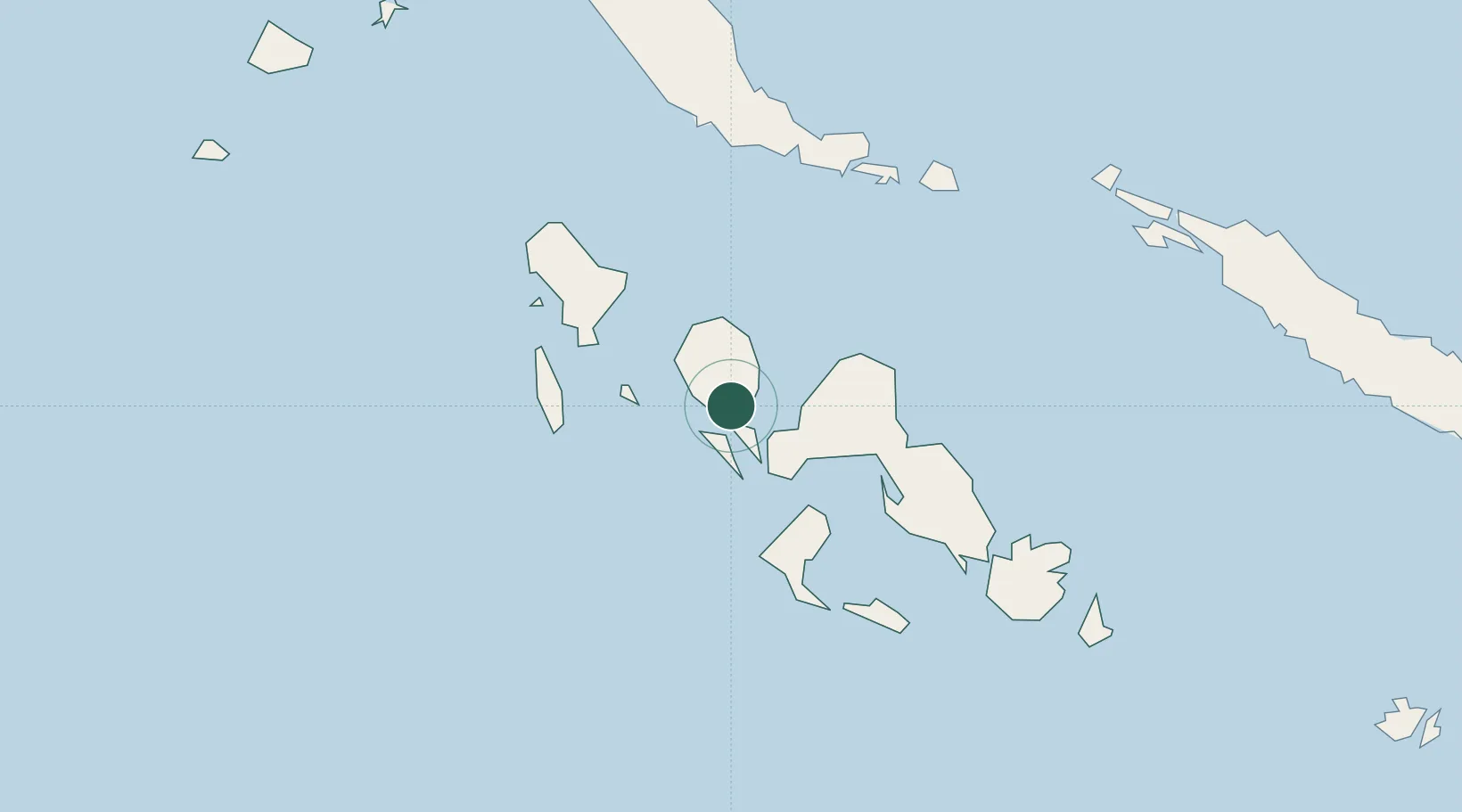
Ringgi Cove, Kolombangara
-8.1167°, 157.1167°
2
Transport functions
Transport Functions
Port
Airport
Location
Nearby Logistics Neighbours
Cities
- 1Noro, New Georgia16 km
- 2Gizo29 km
- 3Lever Harbour54 km
- 4Choiseul Bay175 km
- 5Shortland Harbour179 km
Ports
- 1Port Noro13 km
- 2Gizo Harbor29 km
- 3Yandina255 km
- 4Kieta267 km
- 5Honiara343 km
Airports
- 1Nusatupe Airport28 km
- 2Munda Airport29 km
- 3Ramata Airport58 km
- 4Kaghau Airport102 km
- 5Gatokae Aerodrome138 km
Trade Zones
DatabookThe Record of Consolidated Knowledge
Solomon Islands beyond logistics?