Free Trade Zone · Solomon Islands

Tulagi Island Special Economic Zone Active
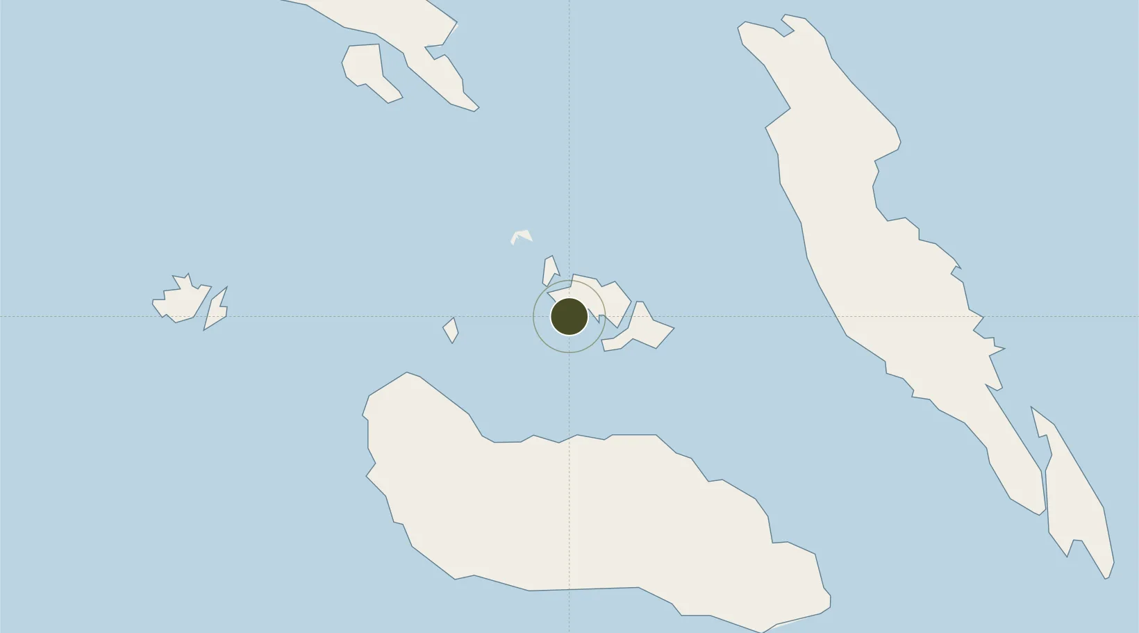
-9.1016°, 160.1376°
208 ha
Zone area
1.4 km
Nearest port
37.4 km
Nearest airport

Gateway access

Nearest neighbours — logibook spatial index (haversine) over the source coordinates

Zone profile

Zone type
Free Trade Zone
Open Zone Map
Region
Central
Open Zone Map
Status
Active
Open Zone Map
Management
Public
Open Zone Map
Operator
China Sam Enterprise Group Ltd.
Open Zone Map
Legal framework
September 22 2019 Strategic Cooperation Agreement
Open Zone Map

Location

Location of ozm-4142
Natural Earth 10m (public domain) · Central · ozm-4142 · -9.10, 160.14GoogleOSMYandex

Nearby Logistics Neighbours

Ports
  1. 1Tulaghi1 km
  2. 2Honiara41 km
  3. 3Yandina101 km
  4. 4Port Noro339 km
  5. 5Ringgi Cove351 km
Nearest neighbours — logibook spatial index (haversine) over the source coordinates
Airports
  1. 1Honiara International Airport37 km
  2. 2Gwaunaru'u Airport75 km
  3. 3Yandina Airport101 km
  4. 4Manaoba Airport113 km
  5. 5Marau Airport113 km
Nearest neighbours — logibook spatial index (haversine) over the source coordinates
Cities
  1. 1Honiara, Guadalcanal Is41 km
  2. 2Yandina, Russell Island101 km
  3. 3Lever Harbour304 km
  4. 4Noro, New Georgia337 km
  5. 5Ringgi Cove, Kolombangara350 km
Nearest neighbours — logibook spatial index (haversine) over the source coordinates
Trade Zones
  1. 1Bana (Bougainville) Special Economic Zone767 km
  2. 2Vanuatu Economic Development Zone1044 km
  3. 3Ledger Atlas Special Economic Zone1382 km
  4. 4Paga Hill Estate Special Economic Zone1426 km
  5. 5Nadzab (Momase) Special Economic Zone1495 km
Nearest neighbours — logibook spatial index (haversine) over the source coordinates
DatabookThe Record of Consolidated Knowledge
Solomon Islands beyond logistics?
Browse databook

All Sources

Trade ZonesOpen Zone Map
CC BY
Portsthe NGA World Port Index
Public domain (US gov)
AirportsOurAirports
Public domain
LocationsUN/LOCODE
UN/LOCODE — free
← Solomon Islands trade zones