Seaport · Solomon Islands
Port NoroSBNOR
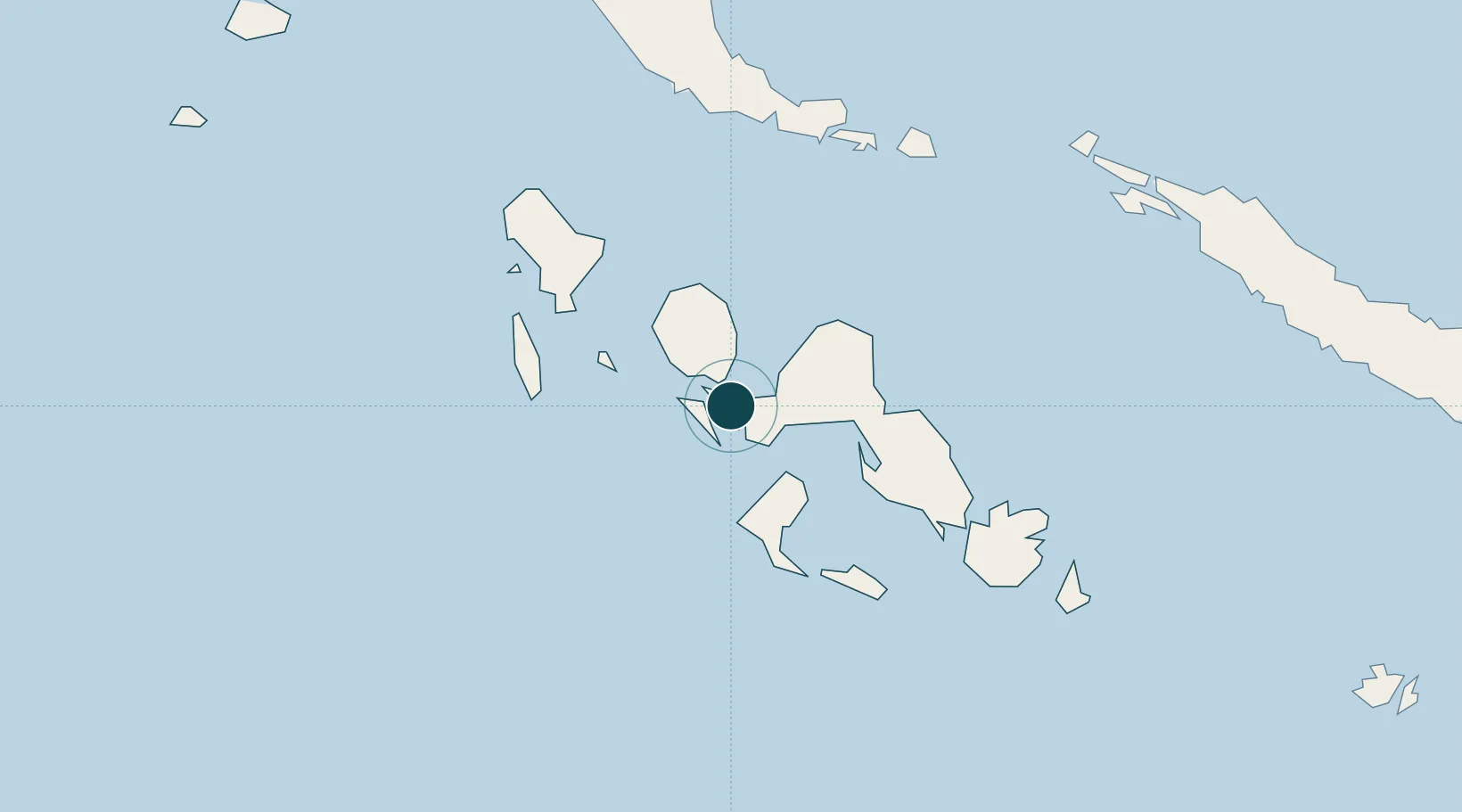
-8.2167°, 157.1833°
23.2 m
Channel depth
1
Container terminals
11.5
Port liner connectivity
Channel & Berth Profile
Pilotage, Tugs & Services
Pilotage availableYES
Tug assistanceNO
Salvage tugsNO
Potable waterNO
Diesel bunkersNO
MedicalYES
Facilities & Capabilities
Container—
Ro-Ro—
Liquid bulk—
Dry bulk—
Oil terminal—
Break bulk—
Dry dock—
Repairs—
BunkeringNO
Rail link—
Dangerous cargo—
ISPS security—
Harbour Specifications
Harbour size
Small
Harbour type
Open Roadstead
Shelter
Fair
Water body
Solomon Sea; South Pacific Ocean
Liner Connectivity
11.5
PLSCI
Port Liner Shipping Connectivity Index for Port Noro, as published by UNCTAD for the latest available quarter. Higher values indicate stronger scheduled liner-shipping integration.
Shown relative to the highest per-port PLSCI in the dataset (1,657.9).
Location
Container Terminals · 1
NORO PORT
NORP SOLOMON ISLANDS PORT AUTHORITY
Nearby Logistics Neighbours
Ports
- 1Ringgi Cove14 km
- 2Gizo Harbor39 km
- 3Yandina243 km
- 4Kieta281 km
- 5Honiara332 km
Cities
- 1Ringgi Cove, Kolombangara13 km
- 2Gizo39 km
- 3Lever Harbour51 km
- 4Choiseul Bay188 km
- 5Shortland Harbour192 km
Airports
- 1Munda Airport15 km
- 2Nusatupe Airport38 km
- 3Ramata Airport51 km
- 4Kaghau Airport108 km
- 5Gatokae Aerodrome126 km
Trade Zones
DatabookThe Record of Consolidated Knowledge
Solomon Islands beyond logistics?