Small airport · Solomon Islands

Gwaunaru'u AirportAGGA
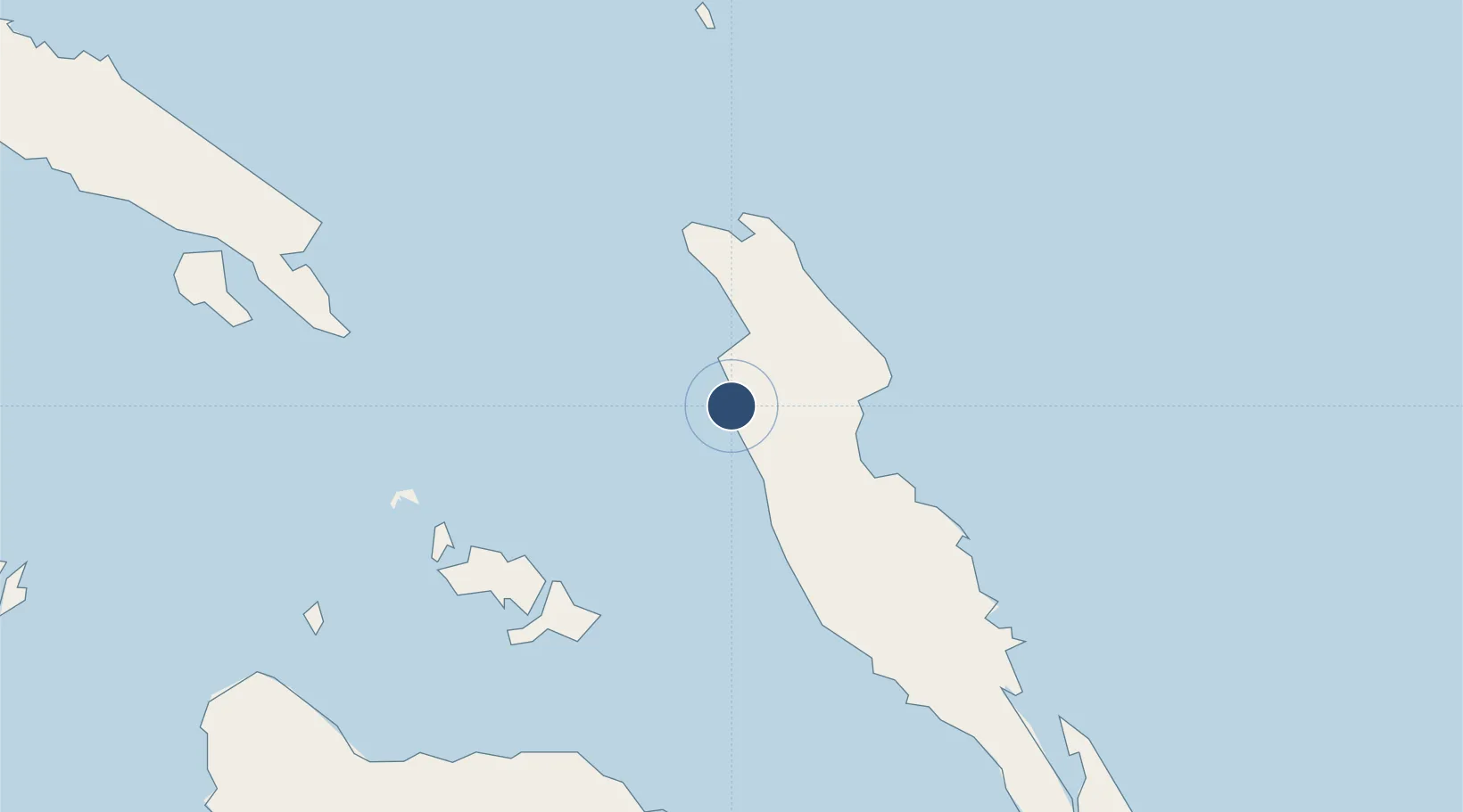
-8.7026°, 160.6820°
3,100 ft
Longest runway
1
Runways
5 ft
Elevation

Runway & Layout

Gwaunaru'u Airport runway & taxiway layout
Runway & taxiway layout — OpenStreetMap (ODbL) / OurAirports

Runways · 1

RunwayDimensions SurfaceTrue headingLit
18/36 3,100 × —ft Unknown
OurAirports

Airport Specifications

IATA code
AKS
OurAirports
ICAO code
AGGA
OurAirports
Airport class
Small airport
OurAirports
Scheduled service
Yes
OurAirports
Runway surface
Unknown
OurAirports
Served city
Auki
OurAirports

Location

Location of AGGA
Natural Earth 10m (public domain) · Malaita · AGGA · -8.70, 160.68GoogleOSMYandex

Nearby Logistics Neighbours

Airports
  1. 1Manaoba Airport44 km
  2. 2Honiara International Airport106 km
  3. 3Marau Airport130 km
  4. 4Fera/Maringe Airport138 km
  5. 5Yandina Airport167 km
Nearest neighbours — logibook spatial index (haversine) over the source coordinates
Cities
  1. 1Honiara, Guadalcanal Is113 km
  2. 2Yandina, Russell Island167 km
  3. 3Lever Harbour348 km
  4. 4Noro, New Georgia387 km
  5. 5Ringgi Cove, Kolombangara398 km
Nearest neighbours — logibook spatial index (haversine) over the source coordinates
Ports
  1. 1Tulaghi73 km
  2. 2Honiara113 km
  3. 3Yandina167 km
  4. 4Port Noro389 km
  5. 5Ringgi Cove399 km
Nearest neighbours — logibook spatial index (haversine) over the source coordinates
Trade Zones
  1. 1Tulagi Island Special Economic Zone75 km
  2. 2Bana (Bougainville) Special Economic Zone792 km
  3. 3Vanuatu Economic Development Zone1034 km
  4. 4Ledger Atlas Special Economic Zone1434 km
  5. 5Paga Hill Estate Special Economic Zone1489 km
Nearest neighbours — logibook spatial index (haversine) over the source coordinates
DatabookThe Record of Consolidated Knowledge
Solomon Islands beyond logistics?
Browse databook

All Sources

AirportsOurAirports
Public domain
Portsthe NGA World Port Index
Public domain (US gov)
LocationsUN/LOCODE
UN/LOCODE — free
Trade Zonesthe World Bank SEZ database
CC BY 4.0
Trade ZonesOpen Zone Map
CC BY
InfrastructureOpenStreetMap
ODbL 1.0
← Solomon Islands airports