Medium airport · Papua New Guinea
Momote AirportAYMO
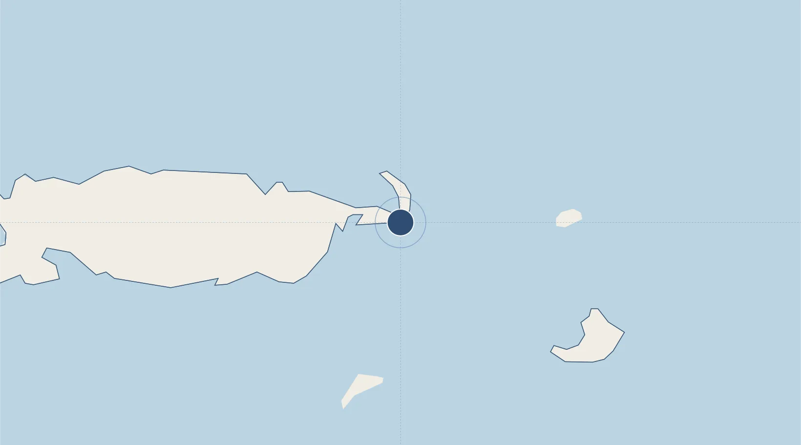
-2.0619°, 147.4240°
6,136 ft
Longest runway
1
Runways
12 ft
Elevation
Runway & Layout

Radio Frequencies
AWOS
129.35 MHz
AWIS
FSS
120.1 MHz
MADANG
Navaids
MOE NDB-DME Momote 0.21 MHz
Runways · 1
| Runway | Dimensions | Surface | True heading | Lit |
|---|---|---|---|---|
| 16/34 | 6,136 × 148ft | Asphalt | 161° | ✓ |
Airport Specifications
IATA code
MAS
ICAO code
AYMO
Airport class
Medium airport
Scheduled service
Yes
Runway surface
Asphalt
Served city
Manus Island
Location
Nearby Logistics Neighbours
Airports
- 1Kavieng Airport380 km
- 2Madang Airport394 km
- 3Wewak International Airport450 km
- 4Goroka Airport501 km
- 5Hoskins Airport503 km
Ports
- 1Lorengau18 km
- 2Kavieng Harbor380 km
- 3Madang394 km
- 4Wewak Harbor453 km
- 5Kimbe486 km
Trade Zones
DatabookThe Record of Consolidated Knowledge
Papua New Guinea beyond logistics?