Medium airport · Papua New Guinea

Wewak International AirportAYWK
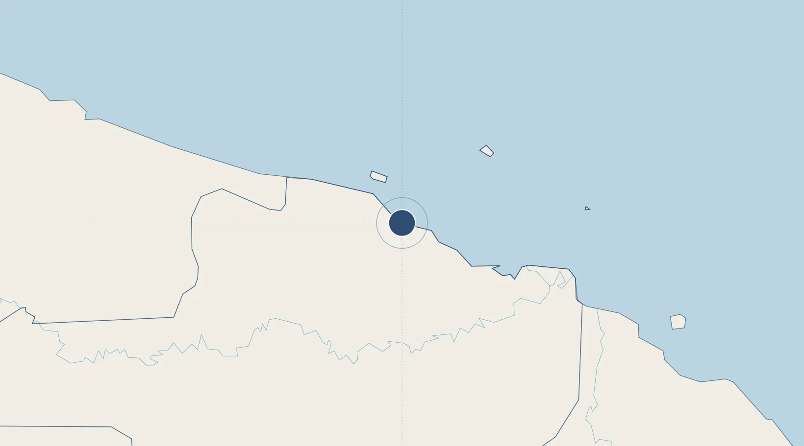
-3.5838°, 143.6690°
5,234 ft
Longest runway
1
Runways
19 ft
Elevation

Runway & Layout

Wewak International Airport runway & taxiway layout
Runway & taxiway layout — OpenStreetMap (ODbL) / OurAirports

Radio Frequencies

ATIS
128.2 MHz
CTAF
121.7 MHz
WEWAK TRAFFIC
FSS
126.7 MHz
MADANG CNTR
OurAirports

Navaids

WK VOR-DME Wewak 116.60 MHz
WK NDB Wewak 336 kHz
OurAirports

Runways · 1

RunwayDimensions SurfaceTrue headingLit
10/28 5,234 × 98ft Asphalt 104°
OurAirports

Airport Specifications

IATA code
WWK
OurAirports
ICAO code
AYWK
OurAirports
Airport class
Medium airport
OurAirports
Scheduled service
Yes
OurAirports
Runway surface
Asphalt
OurAirports
Served city
Wewak
OurAirports

Location

Location of AYWK
Natural Earth 10m (public domain) · East Sepik · AYWK · -3.58, 143.67GoogleOSMYandex

Nearby Logistics Neighbours

Airports
  1. 1Wapenamanda Airport229 km
  2. 2Mount Hagen Kagamuga Airport259 km
  3. 3Tari Airport264 km
  4. 4Vanimo Airport281 km
  5. 5Madang Airport296 km
Nearest neighbours — logibook spatial index (haversine) over the source coordinates
Cities
  1. 1Wewak3 km
  2. 2Tambanum69 km
  3. 3Yentchan77 km
  4. 4Karkar Is280 km
  5. 5Madang298 km
Nearest neighbours — logibook spatial index (haversine) over the source coordinates
Ports
  1. 1Wewak Harbor4 km
  2. 2Vanimo299 km
  3. 3Madang299 km
  4. 4Lorengau436 km
  5. 5Lae509 km
Nearest neighbours — logibook spatial index (haversine) over the source coordinates
Trade Zones
  1. 1Manus Special Economic Zone212 km
  2. 2Sepik Special Economic Zone231 km
  3. 3Vanimo Special Economic Zone283 km
  4. 4Pacific Marine Industrial Zone296 km
  5. 5Sandaun Special Economic Zone307 km
Nearest neighbours — logibook spatial index (haversine) over the source coordinates
DatabookThe Record of Consolidated Knowledge
Papua New Guinea beyond logistics?
Browse databook

All Sources

AirportsOurAirports
Public domain
Portsthe NGA World Port Index
Public domain (US gov)
LocationsUN/LOCODE
UN/LOCODE — free
Trade Zonesthe World Bank SEZ database
CC BY 4.0
Trade ZonesOpen Zone Map
CC BY
InfrastructureOpenStreetMap
ODbL 1.0
← Papua New Guinea airports