UN/LOCODE hub · Papua New Guinea
PGLOM

Lombrum

-2.0333°, 147.3667°
1
Transport functions

Transport Functions

Port
UN/LOCODE

Hub Profile

Place type
Populated place
GeoNames
Region
Manus Province
GeoNames
Time zone
Pacific/Port_Moresby
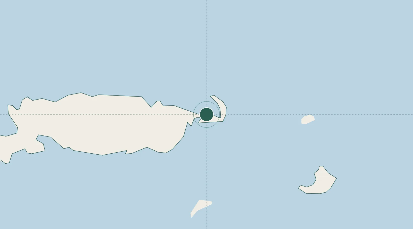
GeoNames

Location

Location of PGLOM
Natural Earth 10m (public domain) · Manus Province · PGLOM · -2.03, 147.37GoogleOSMYandex

Nearby Logistics Neighbours

Cities
  1. 1Karkar Is328 km
  2. 2Madang394 km
  3. 3Lakuramau442 km
  4. 4Wewak447 km
  5. 5Tambanum483 km
Nearest neighbours — logibook spatial index (haversine) over the source coordinates
Ports
  1. 1Lorengau11 km
  2. 2Kavieng Harbor386 km
  3. 3Madang394 km
  4. 4Wewak Harbor448 km
  5. 5Kimbe492 km
Nearest neighbours — logibook spatial index (haversine) over the source coordinates
Airports
  1. 1Momote Airport7 km
  2. 2Kavieng Airport387 km
  3. 3Madang Airport394 km
  4. 4Wewak International Airport445 km
  5. 5Goroka Airport501 km
Nearest neighbours — logibook spatial index (haversine) over the source coordinates
Trade Zones
  1. 1Pacific Marine Industrial Zone396 km
  2. 2Manus Special Economic Zone457 km
  3. 3Ledger Atlas Special Economic Zone510 km
  4. 4Nadzab (Momase) Special Economic Zone511 km
  5. 5Morobe Agricultural Special Economic Zone542 km
Nearest neighbours — logibook spatial index (haversine) over the source coordinates
DatabookThe Record of Consolidated Knowledge
Papua New Guinea beyond logistics?
Browse databook

All Sources

LocationsUN/LOCODE
UN/LOCODE — free
Portsthe NGA World Port Index
Public domain (US gov)
AirportsOurAirports
Public domain
Trade Zonesthe World Bank SEZ database
CC BY 4.0
Trade ZonesOpen Zone Map
CC BY
← Papua New Guinea locations