Specialized Zone · Papua New Guinea

Western Province Special Economic Zone Under Development
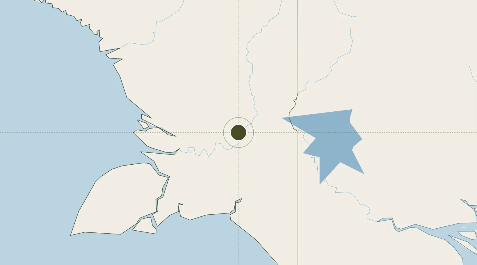
-6.9157°, 140.1047°
429 ha
Zone area
177.0 km
Nearest port
93.7 km
Nearest airport

Gateway access

Nearest neighbours — logibook spatial index (haversine) over the source coordinates

Zone profile

Zone type
Specialized Zone
Open Zone Map
Specialization
Agriculture
Open Zone Map
Region
Papua
Open Zone Map
Status
Under Development
Open Zone Map
Management
Public
Open Zone Map
Operator
Western Province Special Economic Zone Authority
Open Zone Map
Legal framework
Special Economic Zones Authority Act 2019
Open Zone Map

Location

Location of ozm-3083
Natural Earth 10m (public domain) · Papua · ozm-3083 · -6.92, 140.10GoogleOSMYandex

Nearby Logistics Neighbours

Ports
  1. 1Merauke177 km
  2. 2Daru416 km
  3. 3Amamapare418 km
  4. 4Thursday Island469 km
  5. 5Vanimo484 km
Nearest neighbours — logibook spatial index (haversine) over the source coordinates
Airports
  1. 1Tanah Merah Airport94 km
  2. 2Bosset Airport116 km
  3. 3Lake Murray Airport154 km
  4. 4Obo Airport154 km
  5. 5Kiunga Airport157 km
Nearest neighbours — logibook spatial index (haversine) over the source coordinates
Cities
  1. 1Asike45 km
  2. 2Kassue98 km
  3. 3Wanam131 km
  4. 4Aiambak137 km
  5. 5Boigu Island350 km
Nearest neighbours — logibook spatial index (haversine) over the source coordinates
Trade Zones
  1. 1Sandaun Special Economic Zone339 km
  2. 2Sepik Special Economic Zone358 km
  3. 3Vanimo Special Economic Zone487 km
  4. 4Ihu Special Economic Zone593 km
  5. 5Morobe Agricultural Special Economic Zone630 km
Nearest neighbours — logibook spatial index (haversine) over the source coordinates
DatabookThe Record of Consolidated Knowledge
Papua New Guinea beyond logistics?
Browse databook

All Sources

Trade ZonesOpen Zone Map
CC BY
Portsthe NGA World Port Index
Public domain (US gov)
AirportsOurAirports
Public domain
LocationsUN/LOCODE
UN/LOCODE — free
← Papua New Guinea trade zones