Runway & Layout

Radio Frequencies
CTAF
124.9 MHz
MISC
115.8 MHz
MISC
119.6 MHz
MISC
122.6 MHz
Runways · 1
| Runway | Dimensions | Surface | True heading | Lit |
|---|---|---|---|---|
| 11/29 | 2,329 × —ft | S | — | — |
Airport Specifications
IATA code
XMY
ICAO code
YYMI
Airport class
Small airport
Scheduled service
Yes
Runway surface
S
Served city
Yam Island
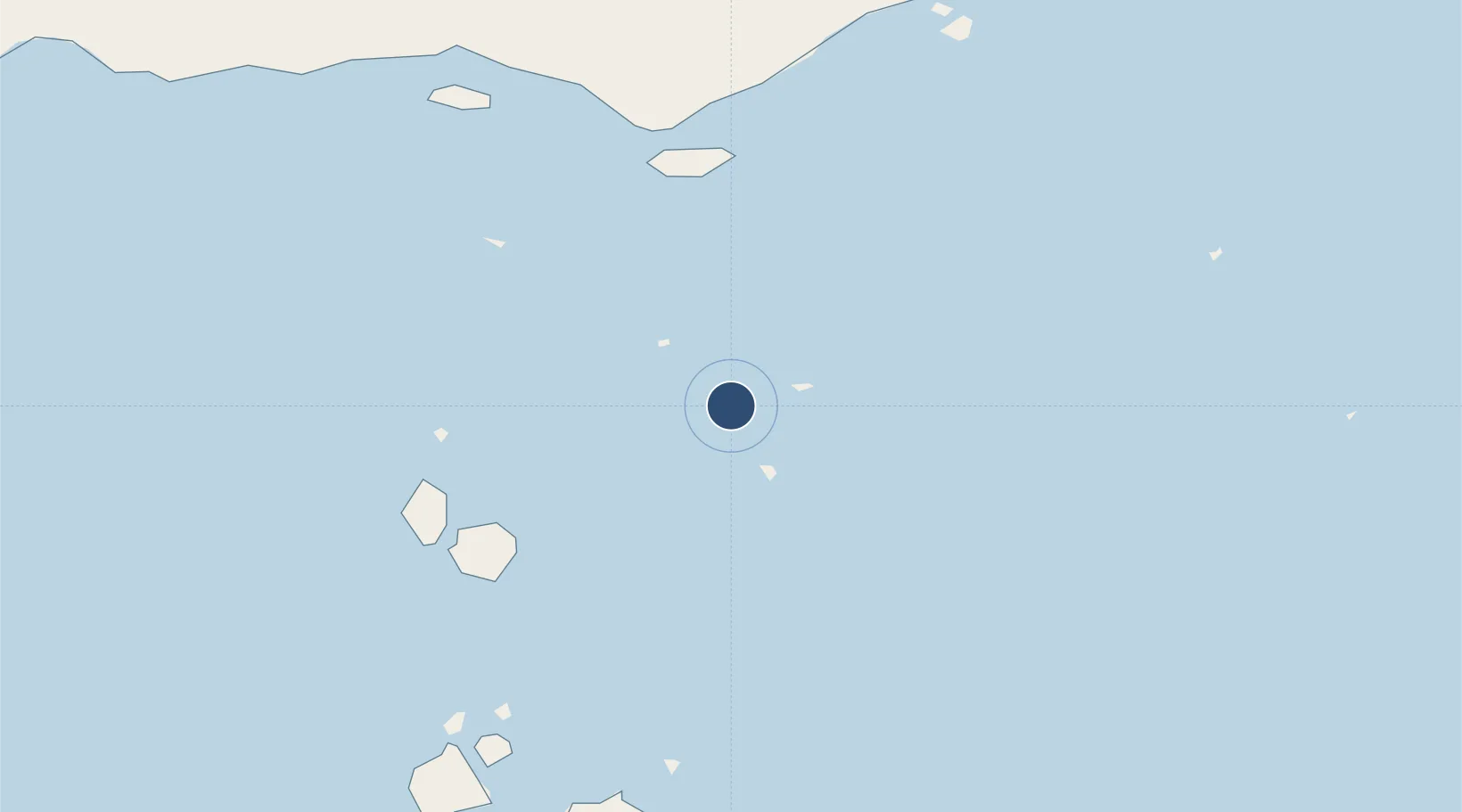
Location
Nearby Logistics Neighbours
Airports
- 1Warraber Island Airport35 km
- 2Coconut Island Airport37 km
- 3Saibai Island Airport60 km
- 4Mabuiag Island Airport64 km
- 5Kubin Island Airport71 km
Cities
- 1Saibai60 km
- 2Dalrymple Islet67 km
- 3Boigu Island93 km
- 4Booby Island122 km
- 5Skardon River222 km
Ports
- 1Thursday Island98 km
- 2Daru104 km
- 3Kumul281 km
- 4Merauke306 km
- 5Weipa323 km
Trade Zones
DatabookThe Record of Consolidated Knowledge
Australia beyond logistics?