Seaport · Australia

WeipaAUWEI

-12.6667°, 141.8667°
9.4 m
Channel depth
6.6
Port liner connectivity

Channel & Berth Profile

SEA LEVEL (CD)CHANNEL BEDChannel · 9.4 mOil terminal · 9.4 mAnchorage · 11.0 mCargo pier · 11.0 m
NGA World Port Index

Pilotage, Tugs & Services

Pilotage compulsoryYES
Pilotage availableYES
Tug assistanceYES
Salvage tugsNO
Shore powerNO
Potable waterYES
Diesel bunkersYES
MedicalYES
Garbage disposalNO
NGA World Port Index

Facilities & Capabilities

Container
Ro-Ro
Liquid bulk
Dry bulk
Oil terminal
Break bulk
Dry dock
Repairs
BunkeringNO
Rail linkNO
Dangerous cargo
ISPS security
NGA World Port Index

Harbour Specifications

Harbour size
Very Small
NGA World Port Index
Harbour type
Coastal (Natural)
NGA World Port Index
Shelter
Good
NGA World Port Index
Water body
Gulf of Carpentaria; Arafura Sea; South Pacific Ocean
NGA World Port Index
Tidal range
1 m
NGA World Port Index
Overhead limit
Yes
NGA World Port Index
Pilotage
Yes
NGA World Port Index

Liner Connectivity

6.6
PLSCI

Port Liner Shipping Connectivity Index for Weipa, as published by UNCTAD for the latest available quarter. Higher values indicate stronger scheduled liner-shipping integration.

Shown relative to the highest per-port PLSCI in the dataset (1,657.9).
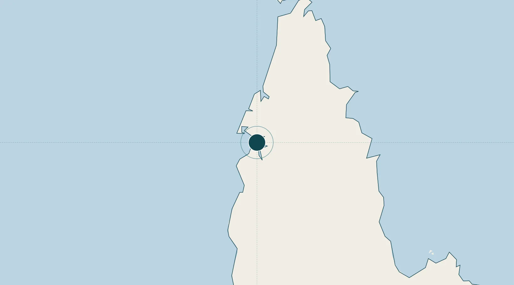
UNCTAD · Port Liner Shipping Connectivity Index

Location

Location of AUWEI
Natural Earth 10m (public domain) · Queensland · AUWEI · -12.67, 141.87GoogleOSMYandex

Nearby Logistics Neighbours

Ports
  1. 1Thursday Island235 km
  2. 2Daru426 km
  3. 3Cape Flattery Harbor454 km
  4. 4Merauke493 km
  5. 5Karumba547 km
Nearest neighbours — logibook spatial index (haversine) over the source coordinates
Cities
  1. 1Evans Landing2 km
  2. 2Amrun39 km
  3. 3Skardon River103 km
  4. 4Booby Island230 km
  5. 5Saibai374 km
Nearest neighbours — logibook spatial index (haversine) over the source coordinates
Airports
  1. 1Weipa Airport6 km
  2. 2Aurukun Airport78 km
  3. 3Lockhart River Airport157 km
  4. 4Coen Airport182 km
  5. 5Northern Peninsula Airport202 km
Nearest neighbours — logibook spatial index (haversine) over the source coordinates
Trade Zones
  1. 1Ihu Special Economic Zone656 km
  2. 2Western Province Special Economic Zone668 km
  3. 3Paga Hill Estate Special Economic Zone676 km
  4. 4Morobe Agricultural Special Economic Zone796 km
  5. 5Nadzab (Momase) Special Economic Zone865 km
Nearest neighbours — logibook spatial index (haversine) over the source coordinates
DatabookThe Record of Consolidated Knowledge
Australia beyond logistics?
Browse databook

All Sources

Portsthe NGA World Port Index
Public domain (US gov)
Logistics performanceUNCTAD
CC BY 3.0 IGO
AirportsOurAirports
Public domain
LocationsUN/LOCODE
UN/LOCODE — free
Trade Zonesthe World Bank SEZ database
CC BY 4.0
Trade ZonesOpen Zone Map
CC BY
← Australia ports