UN/LOCODE hub · Papua New Guinea
PGSAI

Saibai

-9.3833°, 142.6167°
1
Transport functions

Transport Functions

Port
UN/LOCODE

Hub Profile

Region
WPD
GeoNames

Location

Location of PGSAI
Natural Earth 10m (public domain) · WPD · PGSAI · -9.38, 142.62GoogleOSMYandex

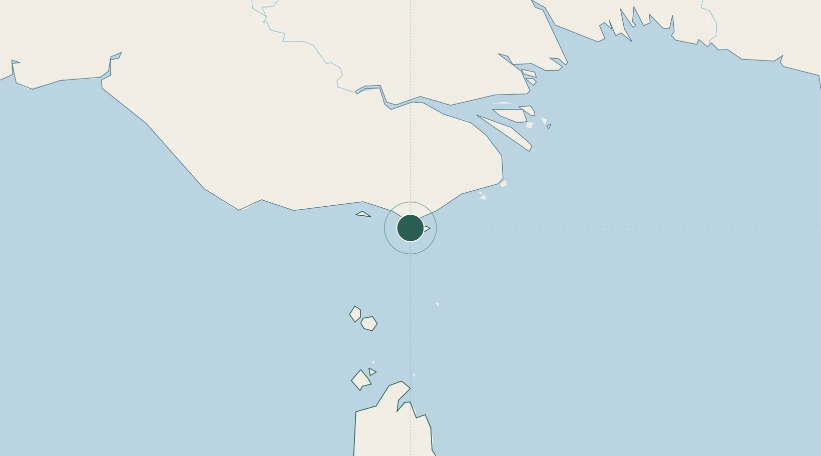
Nearby Logistics Neighbours

Cities
  1. 1Boigu Island46 km
  2. 2Dalrymple Islet79 km
  3. 3Booby Island156 km
  4. 4Kumul258 km
  5. 5Aiambak271 km
Nearest neighbours — logibook spatial index (haversine) over the source coordinates
Ports
  1. 1Daru73 km
  2. 2Thursday Island140 km
  3. 3Kumul258 km
  4. 4Merauke265 km
  5. 5Weipa374 km
Nearest neighbours — logibook spatial index (haversine) over the source coordinates
Airports
  1. 1Saibai Island Airport1 km
  2. 2Boigu Island Airport47 km
  3. 3Yam Island Airport60 km
  4. 4Daru Airport73 km
  5. 5Mabuiag Island Airport78 km
Nearest neighbours — logibook spatial index (haversine) over the source coordinates
Trade Zones
  1. 1Ihu Special Economic Zone347 km
  2. 2Western Province Special Economic Zone390 km
  3. 3Morobe Agricultural Special Economic Zone464 km
  4. 4Paga Hill Estate Special Economic Zone497 km
  5. 5Nadzab (Momase) Special Economic Zone555 km
Nearest neighbours — logibook spatial index (haversine) over the source coordinates
DatabookThe Record of Consolidated Knowledge
Papua New Guinea beyond logistics?
Browse databook

All Sources

LocationsUN/LOCODE
UN/LOCODE — free
Portsthe NGA World Port Index
Public domain (US gov)
AirportsOurAirports
Public domain
Trade Zonesthe World Bank SEZ database
CC BY 4.0
Trade ZonesOpen Zone Map
CC BY
← Papua New Guinea locations