Channel & Berth Profile
Pilotage, Tugs & Services
Pilotage compulsoryYES
Pilotage availableYES
Tug assistanceYES
Salvage tugsNO
Potable waterYES
Diesel bunkersNO
MedicalYES
Facilities & Capabilities
Container—
Ro-Ro—
Liquid bulk—
Dry bulk—
Oil terminal—
Break bulk—
Dry dock—
RepairsNO
BunkeringNO
Rail link—
Dangerous cargo—
ISPS security—
Harbour Specifications
Harbour size
Very Small
Harbour type
River (Natural)
Shelter
Fair
Water body
Arafura Sea; South Pacific Ocean
Tidal range
3 m
Pilotage
Yes
Liner Connectivity
7.3
PLSCI
Port Liner Shipping Connectivity Index for Merauke, as published by UNCTAD for the latest available quarter. Higher values indicate stronger scheduled liner-shipping integration.
Shown relative to the highest per-port PLSCI in the dataset (1,657.9).
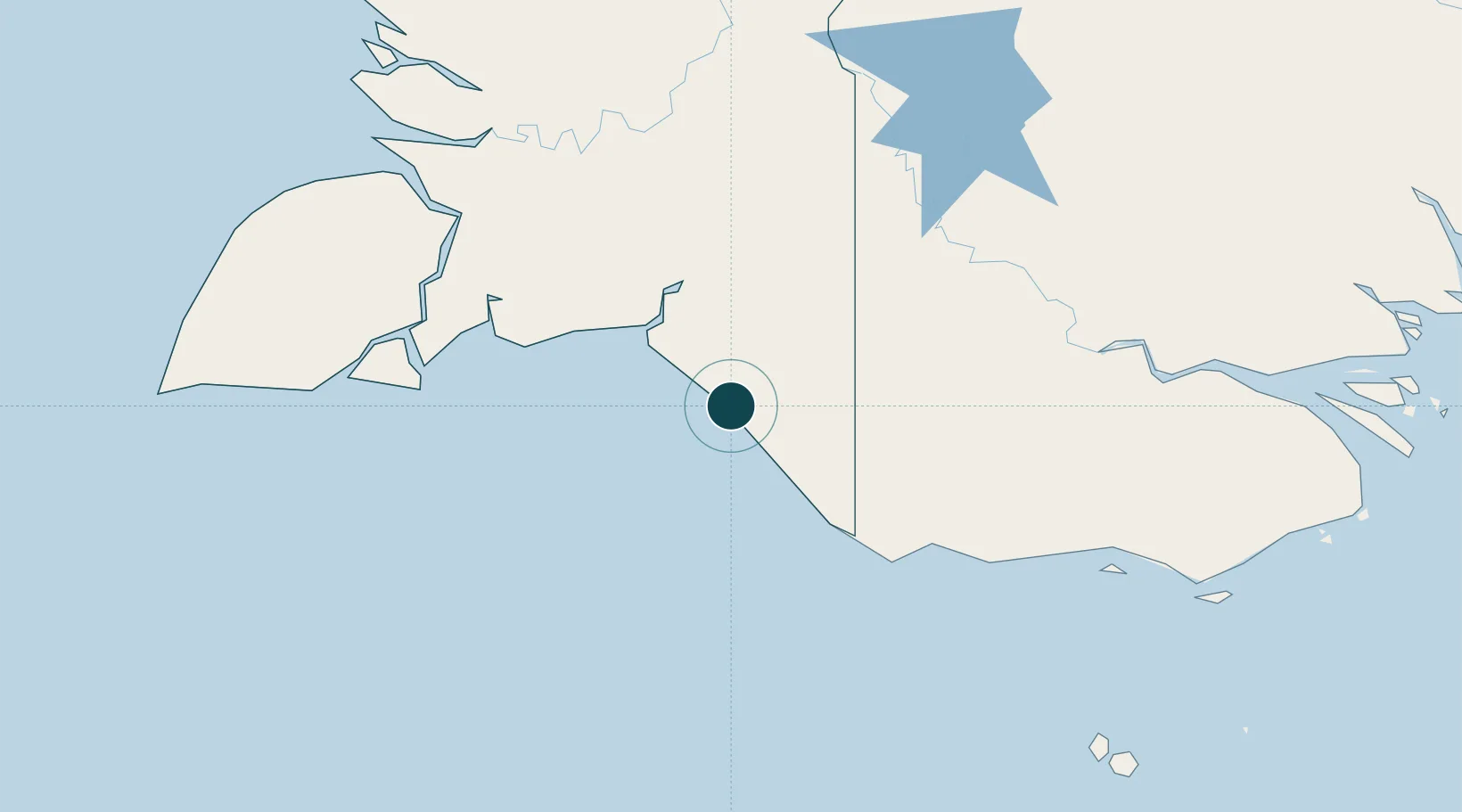
Location
Nearby Logistics Neighbours
Ports
- 1Thursday Island308 km
- 2Daru316 km
- 3Kumul462 km
- 4Weipa493 km
- 5Amamapare556 km
Cities
- 1Aiambak159 km
- 2Wanam175 km
- 3Asike204 km
- 4Kassue211 km
- 5Boigu Island219 km
Airports
- 1Mopah International Airport6 km
- 2Obo Airport144 km
- 3Bosset Airport160 km
- 4Lake Murray Airport205 km
- 5Boigu Island Airport218 km
Trade Zones
DatabookThe Record of Consolidated Knowledge
Indonesia beyond logistics?