UN/LOCODE hub · Australia
AUBOO

Booby Island

-10.6000°, 141.9167°
2
Transport functions

Transport Functions

Port
Road
UN/LOCODE

Hub Profile

Region
QLD
GeoNames

Location

Location of AUBOO
Natural Earth 10m (public domain) · QLD · AUBOO · -10.60, 141.92GoogleOSMYandex

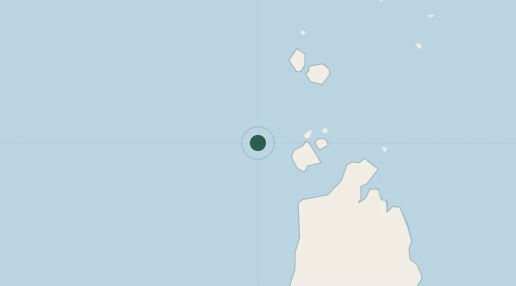
Nearby Logistics Neighbours

Cities
  1. 1Skardon River128 km
  2. 2Boigu Island152 km
  3. 3Saibai156 km
  4. 4Dalrymple Islet188 km
  5. 5Evans Landing230 km
Nearest neighbours — logibook spatial index (haversine) over the source coordinates
Ports
  1. 1Thursday Island33 km
  2. 2Daru221 km
  3. 3Weipa230 km
  4. 4Merauke289 km
  5. 5Kumul402 km
Nearest neighbours — logibook spatial index (haversine) over the source coordinates
Airports
  1. 1Horn Island Airport41 km
  2. 2Kubin Island Airport53 km
  3. 3Badu Island Airport57 km
  4. 4Northern Peninsula Airport70 km
  5. 5Mabuiag Island Airport78 km
Nearest neighbours — logibook spatial index (haversine) over the source coordinates
Trade Zones
  1. 1Western Province Special Economic Zone456 km
  2. 2Ihu Special Economic Zone485 km
  3. 3Paga Hill Estate Special Economic Zone586 km
  4. 4Morobe Agricultural Special Economic Zone613 km
  5. 5Nadzab (Momase) Special Economic Zone697 km
Nearest neighbours — logibook spatial index (haversine) over the source coordinates
DatabookThe Record of Consolidated Knowledge
Australia beyond logistics?
Browse databook

All Sources

LocationsUN/LOCODE
UN/LOCODE — free
Portsthe NGA World Port Index
Public domain (US gov)
AirportsOurAirports
Public domain
Trade Zonesthe World Bank SEZ database
CC BY 4.0
Trade ZonesOpen Zone Map
CC BY
← Australia locations