Small airport · Australia

Darnley Island AirportYDNI
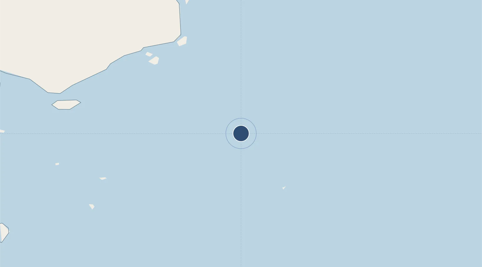
-9.5792°, 143.7803°
1,640 ft
Longest runway
1
Runways

Runway & Layout

Darnley Island Airport runway & taxiway layout
Runway & taxiway layout — OpenStreetMap (ODbL) / OurAirports

Radio Frequencies

CTAF
126 MHz
MISC
120.6 MHz
MISC
121.2 MHz
OurAirports

Runways · 1

RunwayDimensions SurfaceTrue headingLit
10/28 1,640 × —ft B
OurAirports

Airport Specifications

IATA code
NLF
OurAirports
ICAO code
YDNI
OurAirports
Airport class
Small airport
OurAirports
Scheduled service
Yes
OurAirports
Runway surface
B
OurAirports
Served city
Darnley Island
OurAirports

Location

Location of YDNI
Natural Earth 10m (public domain) · Queensland · YDNI · -9.58, 143.78GoogleOSMYandex

Nearby Logistics Neighbours

Airports
  1. 1Yorke Island Airport45 km
  2. 2Murray Island Airport48 km
  3. 3Daru Airport83 km
  4. 4Coconut Island Airport94 km
  5. 5Yam Island Airport116 km
Nearest neighbours — logibook spatial index (haversine) over the source coordinates
Cities
  1. 1Dalrymple Islet53 km
  2. 2Saibai130 km
  3. 3Boigu Island175 km
  4. 4Kumul186 km
  5. 5Booby Island234 km
Nearest neighbours — logibook spatial index (haversine) over the source coordinates
Ports
  1. 1Daru85 km
  2. 2Kumul186 km
  3. 3Thursday Island204 km
  4. 4Port Moresby368 km
  5. 5Merauke392 km
Nearest neighbours — logibook spatial index (haversine) over the source coordinates
Trade Zones
  1. 1Ihu Special Economic Zone258 km
  2. 2Paga Hill Estate Special Economic Zone369 km
  3. 3Morobe Agricultural Special Economic Zone395 km
  4. 4Nadzab (Momase) Special Economic Zone470 km
  5. 5Western Province Special Economic Zone501 km
Nearest neighbours — logibook spatial index (haversine) over the source coordinates
DatabookThe Record of Consolidated Knowledge
Australia beyond logistics?
Browse databook

All Sources

AirportsOurAirports
Public domain
Portsthe NGA World Port Index
Public domain (US gov)
LocationsUN/LOCODE
UN/LOCODE — free
Trade Zonesthe World Bank SEZ database
CC BY 4.0
Trade ZonesOpen Zone Map
CC BY
InfrastructureOpenStreetMap
ODbL 1.0
← Australia airports