UN/LOCODE hub · Papua New Guinea
PGBOI

Boigu Island

-9.2667°, 142.2167°
1
Transport functions

Transport Functions

Port
UN/LOCODE

Hub Profile

Region
WPD
GeoNames

Location

Location of PGBOI
Natural Earth 10m (public domain) · WPD · PGBOI · -9.27, 142.22GoogleOSMYandex

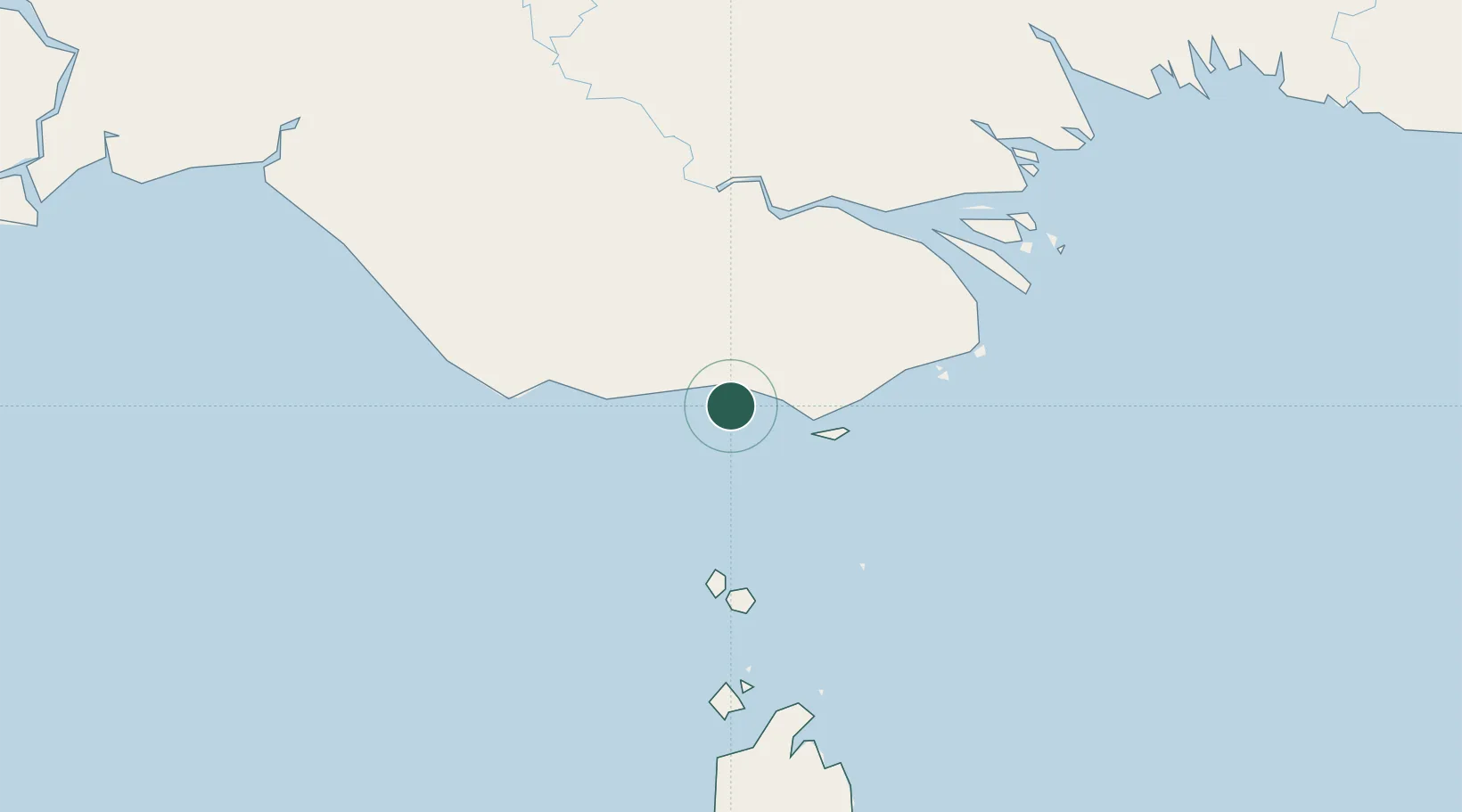
Nearby Logistics Neighbours

Cities
  1. 1Saibai46 km
  2. 2Dalrymple Islet125 km
  3. 3Booby Island152 km
  4. 4Aiambak237 km
  5. 5Skardon River277 km
Nearest neighbours — logibook spatial index (haversine) over the source coordinates
Ports
  1. 1Daru110 km
  2. 2Thursday Island146 km
  3. 3Merauke219 km
  4. 4Kumul289 km
  5. 5Weipa380 km
Nearest neighbours — logibook spatial index (haversine) over the source coordinates
Airports
  1. 1Boigu Island Airport4 km
  2. 2Saibai Island Airport47 km
  3. 3Mabuiag Island Airport76 km
  4. 4Yam Island Airport93 km
  5. 5Badu Island Airport98 km
Nearest neighbours — logibook spatial index (haversine) over the source coordinates
Trade Zones
  1. 1Western Province Special Economic Zone350 km
  2. 2Ihu Special Economic Zone381 km
  3. 3Morobe Agricultural Special Economic Zone491 km
  4. 4Paga Hill Estate Special Economic Zone541 km
  5. 5Sepik Special Economic Zone579 km
Nearest neighbours — logibook spatial index (haversine) over the source coordinates
DatabookThe Record of Consolidated Knowledge
Papua New Guinea beyond logistics?
Browse databook

All Sources

LocationsUN/LOCODE
UN/LOCODE — free
Portsthe NGA World Port Index
Public domain (US gov)
AirportsOurAirports
Public domain
Trade Zonesthe World Bank SEZ database
CC BY 4.0
Trade ZonesOpen Zone Map
CC BY
← Papua New Guinea locations