Small airport · Australia

Saibai Island AirportYSII
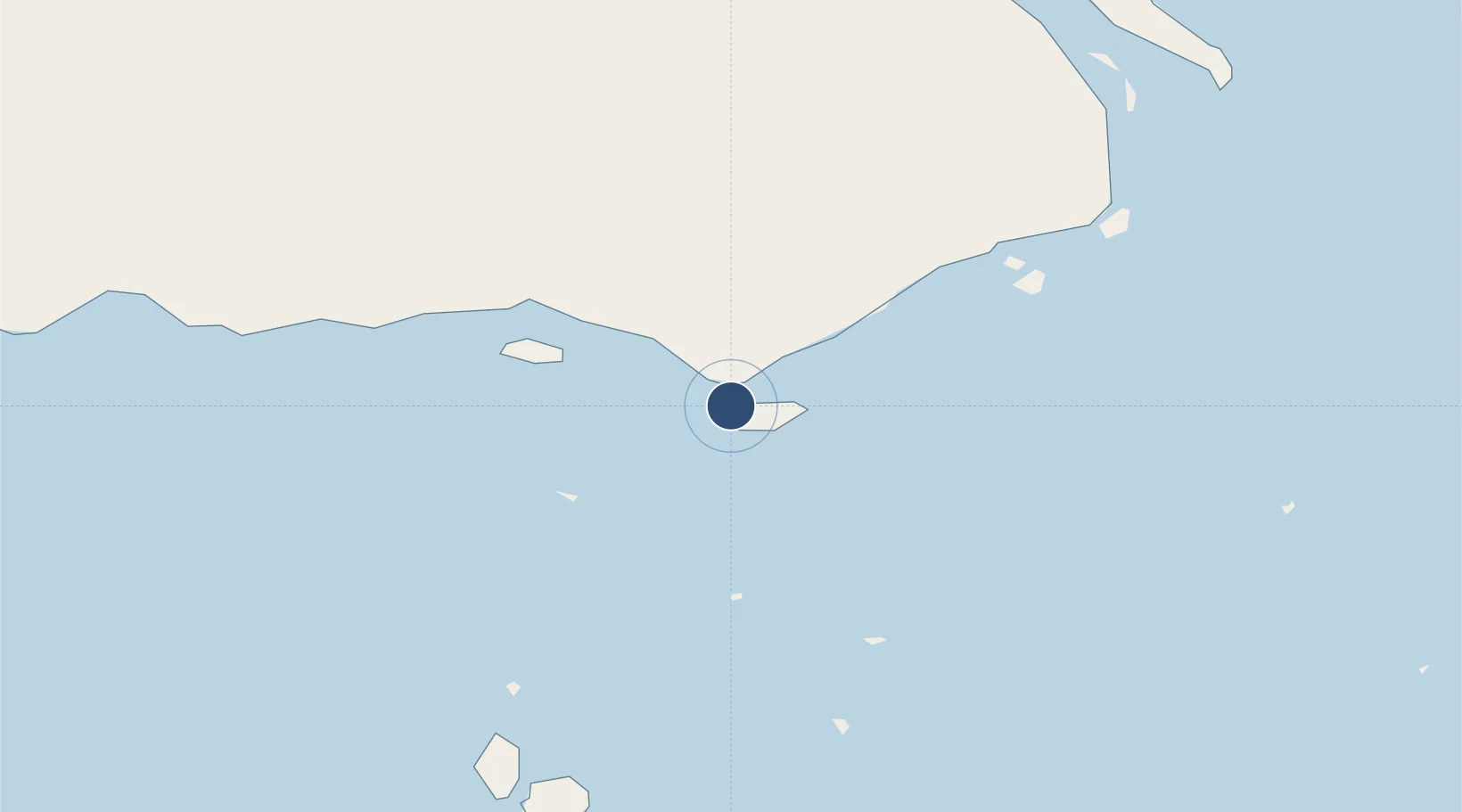
-9.3783°, 142.6250°
2,099 ft
Longest runway
1
Runways
15 ft
Elevation

Runway & Layout

Saibai Island Airport runway & taxiway layout
Runway & taxiway layout — OpenStreetMap (ODbL) / OurAirports

Radio Frequencies

CTAF
124.8 MHz
MISC
126.8 MHz
OurAirports

Runways · 1

RunwayDimensions SurfaceTrue headingLit
12/30 2,099 × —ft N
OurAirports

Airport Specifications

IATA code
SBR
OurAirports
ICAO code
YSII
OurAirports
Airport class
Small airport
OurAirports
Scheduled service
Yes
OurAirports
Runway surface
N
OurAirports
Served city
Saibai Island
OurAirports

Location

Location of YSII
Natural Earth 10m (public domain) · Queensland · YSII · -9.38, 142.63GoogleOSMYandex

Nearby Logistics Neighbours

Airports
  1. 1Boigu Island Airport48 km
  2. 2Yam Island Airport60 km
  3. 3Daru Airport72 km
  4. 4Mabuiag Island Airport79 km
  5. 5Coconut Island Airport89 km
Nearest neighbours — logibook spatial index (haversine) over the source coordinates
Cities
  1. 1Saibai1 km
  2. 2Boigu Island47 km
  3. 3Dalrymple Islet78 km
  4. 4Booby Island156 km
  5. 5Kumul256 km
Nearest neighbours — logibook spatial index (haversine) over the source coordinates
Ports
  1. 1Daru72 km
  2. 2Thursday Island141 km
  3. 3Kumul256 km
  4. 4Merauke266 km
  5. 5Weipa375 km
Nearest neighbours — logibook spatial index (haversine) over the source coordinates
Trade Zones
  1. 1Ihu Special Economic Zone346 km
  2. 2Western Province Special Economic Zone390 km
  3. 3Morobe Agricultural Special Economic Zone463 km
  4. 4Paga Hill Estate Special Economic Zone496 km
  5. 5Nadzab (Momase) Special Economic Zone554 km
Nearest neighbours — logibook spatial index (haversine) over the source coordinates
DatabookThe Record of Consolidated Knowledge
Australia beyond logistics?
Browse databook

All Sources

AirportsOurAirports
Public domain
Portsthe NGA World Port Index
Public domain (US gov)
LocationsUN/LOCODE
UN/LOCODE — free
Trade Zonesthe World Bank SEZ database
CC BY 4.0
Trade ZonesOpen Zone Map
CC BY
InfrastructureOpenStreetMap
ODbL 1.0
← Australia airports