Seaport · Oman
DuqmOMDQM
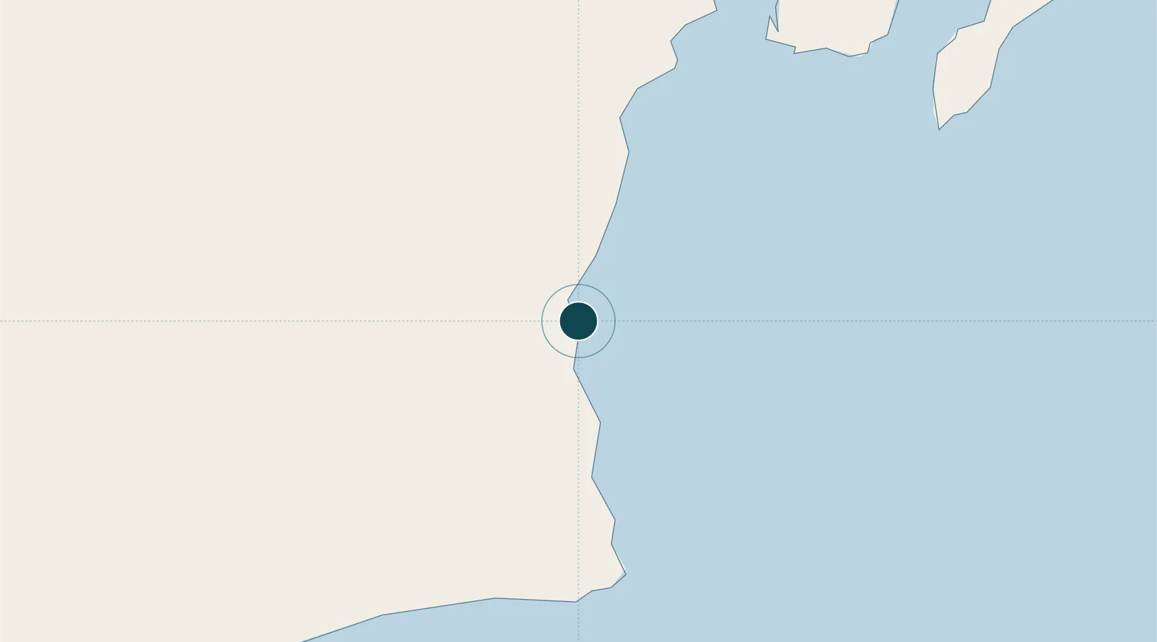
19.6733°, 57.7169°
19.0 m
Channel depth
1
Container terminals
28.0
Port liner connectivity
Channel & Berth Profile
Pilotage, Tugs & Services
Pilotage compulsoryYES
Pilotage availableYES
Tug assistanceYES
Facilities & Capabilities
ContainerYES
Ro-RoYES
Liquid bulkYES
Dry bulkYES
Oil terminalYES
Break bulkYES
Dry dockNO
RepairsNO
Bunkering—
Rail link—
Dangerous cargo—
ISPS securityYES
Harbour Specifications
Harbour size
Medium
Harbour type
Coastal (Breakwater)
Water body
Arabian Sea; Indian Ocean
Pilotage
Yes
Liner Connectivity
28
PLSCI
Port Liner Shipping Connectivity Index for Duqm, as published by UNCTAD for the latest available quarter. Higher values indicate stronger scheduled liner-shipping integration.
Shown relative to the highest per-port PLSCI in the dataset (1,657.9).
Location
Container Terminals · 1
ASYAD CONTAINER TERMINAL DUQM
ACTD ASYAD PORTS
Nearby Logistics Neighbours
Ports
- 1Qalhat Lng Terminal378 km
- 2Mina Al Fahl448 km
- 3Mina Qabus449 km
- 4Mina Raysut493 km
- 5Port Of Sohar550 km
Cities
- 1Sur376 km
- 2Qalhat378 km
- 3Khazaen431 km
- 4Muscat445 km
- 5Mina Sultan Qaboos, Muscat447 km
Airports
- 1Duqm International Airport21 km
- 2RAFO Masirah166 km
- 3Aradah Airport308 km
- 4Ras al Hadd Airport356 km
- 5Muscat International Airport441 km
Trade Zones
- 1Duqm Special Economic Zone2 km
- 2Khazaen Economic City433 km
- 3Knowledge Oasis Muscat436 km
- 4Salalah Ṣalālah Free Zone485 km
- 5Al Ain Industrial City534 km
DatabookThe Record of Consolidated Knowledge
Oman beyond logistics?