Large airport · Oman

Duqm International AirportOM-0003
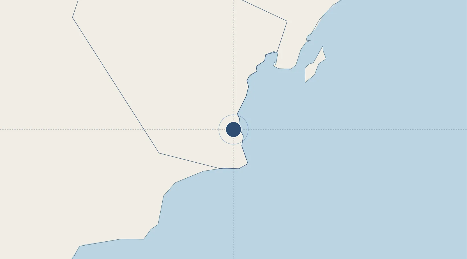
19.5019°, 57.6342°
13,123 ft
Longest runway
1
Runways
364 ft
Elevation

Runway & Layout

Duqm International Airport runway & taxiway layout
Runway & taxiway layout — OpenStreetMap (ODbL) / OurAirports

Runways · 1

RunwayDimensions SurfaceTrue headingLit
04/22 13,123 × 197ft Concrete 045°
OurAirports

Airport Specifications

IATA code
DQM
OurAirports
ICAO code
OODQ
OurAirports
Airport class
Large airport
OurAirports
Scheduled service
Yes
OurAirports
Runway surface
Concrete
OurAirports
Served city
Duqm
OurAirports

Location

Location of OM-0003
Natural Earth 10m (public domain) · Al Wusta · OM-0003 · 19.50, 57.63GoogleOSMYandex

Nearby Logistics Neighbours

Airports
  1. 1RAFO Masirah185 km
  2. 2Aradah Airport313 km
  3. 3Ras al Hadd Airport377 km
  4. 4Thumrait Air Base432 km
  5. 5Mussanah Airport460 km
Nearest neighbours — logibook spatial index (haversine) over the source coordinates
Cities
  1. 1Duqm22 km
  2. 2Sur397 km
  3. 3Qalhat398 km
  4. 4Khazaen450 km
  5. 5Muscat465 km
Nearest neighbours — logibook spatial index (haversine) over the source coordinates
Ports
  1. 1Duqm21 km
  2. 2Qalhat Lng Terminal398 km
  3. 3Mina Al Fahl468 km
  4. 4Mina Qabus470 km
  5. 5Mina Raysut475 km
Nearest neighbours — logibook spatial index (haversine) over the source coordinates
Trade Zones
  1. 1Duqm Special Economic Zone20 km
  2. 2Khazaen Economic City452 km
  3. 3Knowledge Oasis Muscat455 km
  4. 4Salalah Ṣalālah Free Zone467 km
  5. 5Al Ain Industrial City548 km
Nearest neighbours — logibook spatial index (haversine) over the source coordinates
DatabookThe Record of Consolidated Knowledge
Oman beyond logistics?
Browse databook

All Sources

AirportsOurAirports
Public domain
Portsthe NGA World Port Index
Public domain (US gov)
LocationsUN/LOCODE
UN/LOCODE — free
Trade Zonesthe World Bank SEZ database
CC BY 4.0
Trade ZonesOpen Zone Map
CC BY
InfrastructureOpenStreetMap
ODbL 1.0
← Oman airports