Medium airport · Oman

Ras al Hadd AirportOM-0007

22.2569°, 59.7407°

Runway & Layout

Ras al Hadd Airport runway & taxiway layout
Runway & taxiway layout — OpenStreetMap (ODbL) / OurAirports

Airport Specifications
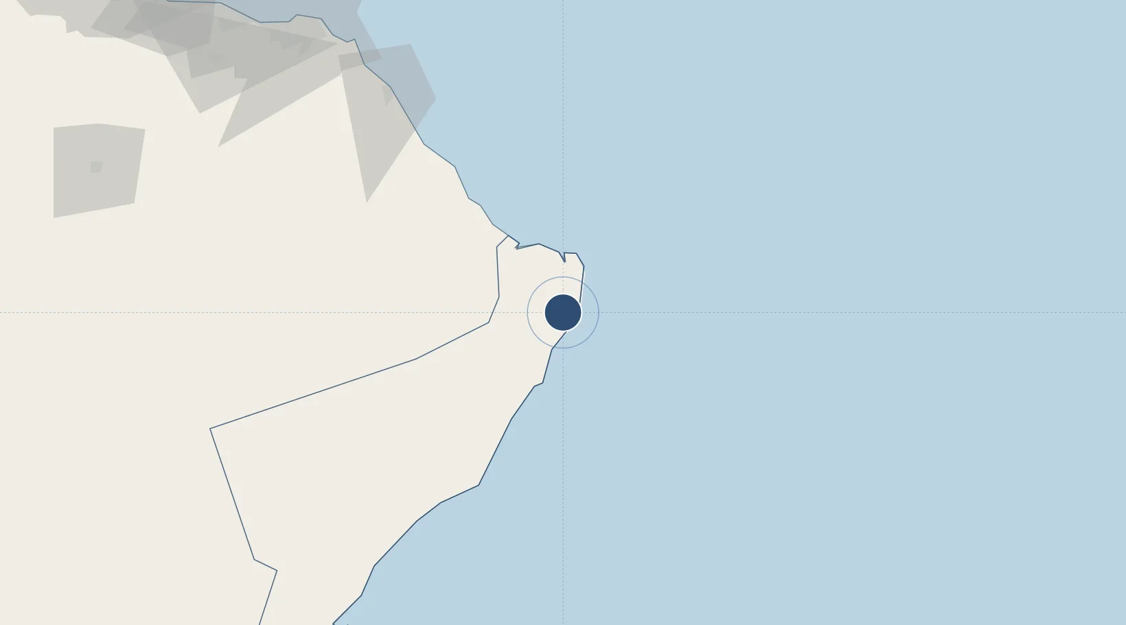
ICAO code
OORH
OurAirports
Airport class
Medium airport
OurAirports
Scheduled service
No
OurAirports
Served city
Ras ar Ruays
OurAirports

Location

Location of OM-0007
Natural Earth 10m (public domain) · Ash Sharqiyah South · OM-0007 · 22.26, 59.74GoogleOSMYandex

Nearby Logistics Neighbours

Airports
  1. 1RAFO Masirah197 km
  2. 2Muscat International Airport211 km
  3. 3Mussanah Airport277 km
  4. 4Chabahar Konarak International Airport360 km
  5. 5Duqm International Airport377 km
Nearest neighbours — logibook spatial index (haversine) over the source coordinates
Cities
  1. 1Sur54 km
  2. 2Qalhat63 km
  3. 3Port Sultan189 km
  4. 4Mina Sultan Qaboos, Muscat194 km
  5. 5Mina' al Fahl198 km
Nearest neighbours — logibook spatial index (haversine) over the source coordinates
Ports
  1. 1Qalhat Lng Terminal59 km
  2. 2Mina Qabus194 km
  3. 3Mina Al Fahl198 km
  4. 4Chah Bahar346 km
  5. 5Duqm356 km
Nearest neighbours — logibook spatial index (haversine) over the source coordinates
Trade Zones
  1. 1Knowledge Oasis Muscat217 km
  2. 2Khazaen Economic City247 km
  3. 3Chābahār Trade Industrial Free Zone353 km
  4. 4Duqm Special Economic Zone357 km
  5. 5Sohar Free Zone407 km
Nearest neighbours — logibook spatial index (haversine) over the source coordinates
DatabookThe Record of Consolidated Knowledge
Oman beyond logistics?
Browse databook

All Sources

AirportsOurAirports
Public domain
Portsthe NGA World Port Index
Public domain (US gov)
LocationsUN/LOCODE
UN/LOCODE — free
Trade Zonesthe World Bank SEZ database
CC BY 4.0
Trade ZonesOpen Zone Map
CC BY
InfrastructureOpenStreetMap
ODbL 1.0
← Oman airports