Diversified Zone · United Arab Emirates
Al Ain Industrial City Active
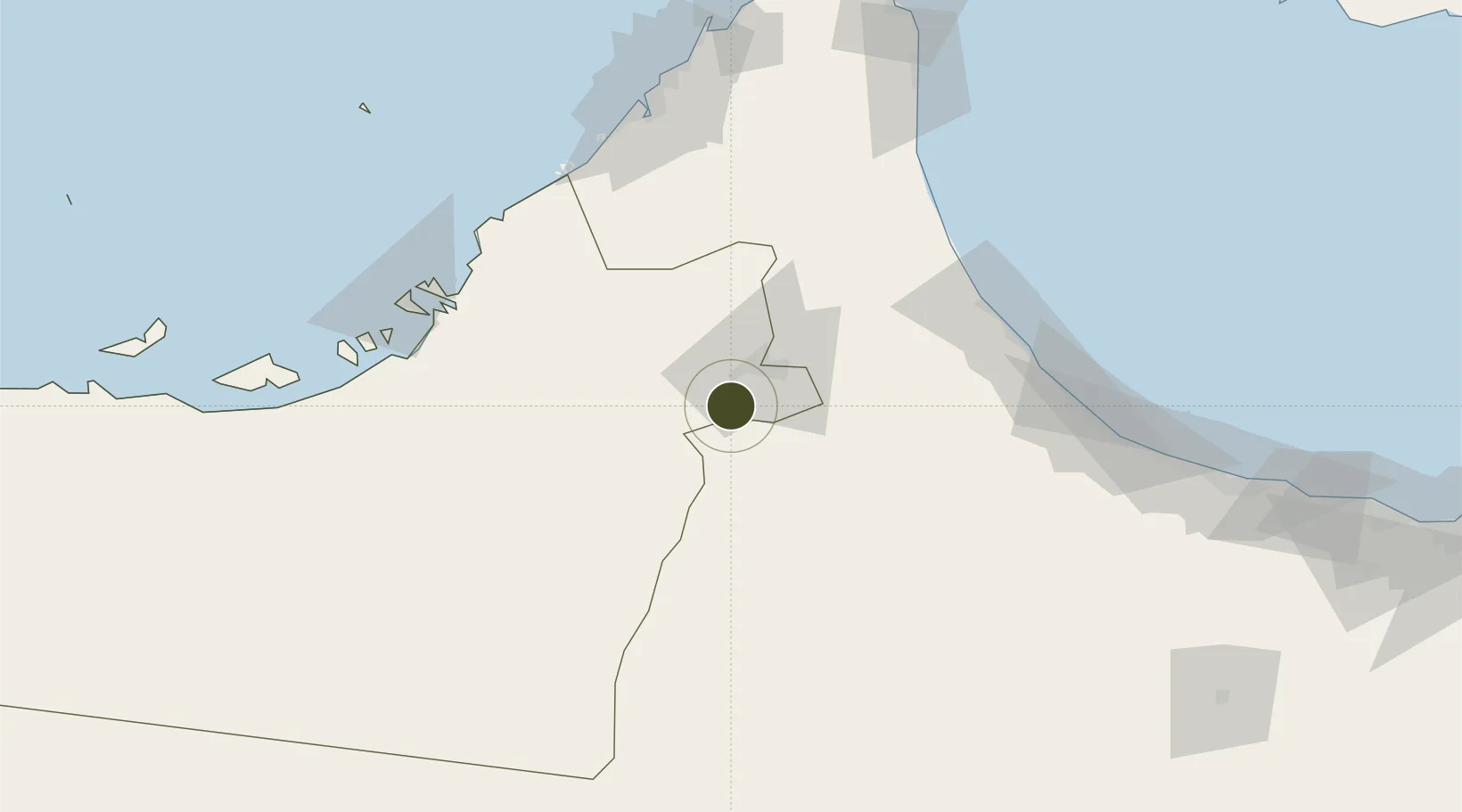
24.0716°, 55.6410°
1,000 ha
Zone area
112.1 km
Nearest port
21.4 km
Nearest airport
Gateway access
Zone profile
Zone type
Diversified Zone
Region
Abu Dhabi
Status
Active
Management
Public
Operator
ZonesCorp
Legal framework
Federal Law No. 8 of 2004 Concerning Financial Free Zones
Location
Nearby Logistics Neighbours
Ports
- 1Port Of Sohar112 km
- 2Mina Jabal Ali121 km
- 3Umm An Nar125 km
- 4Dubayy137 km
- 5Abu Zaby141 km
Airports
- 1Al Ain International Airport21 km
- 2Al Maktoum International Airport104 km
- 3Suhar International Airport106 km
- 4Zayed International Airport109 km
- 5Al Minhad Air Base110 km
Cities
- 1Sohar107 km
- 2Jebel Ali Free Zone (South)111 km
- 3Shinas111 km
- 4Jebel Ali Industrial Area116 km
- 5Jebel Ali117 km
Trade Zones
- 1Dubai Logistics City107 km
- 2Dubai South107 km
- 3Sohar Free Zone108 km
- 4Dubai International Humanitarian City108 km
- 5Abu Dhabi Airport Free Zone (ADAFZ)109 km
DatabookThe Record of Consolidated Knowledge
United Arab Emirates beyond logistics?