Free Trade Zone · Oman

Salalah Ṣalālah Free Zone Active
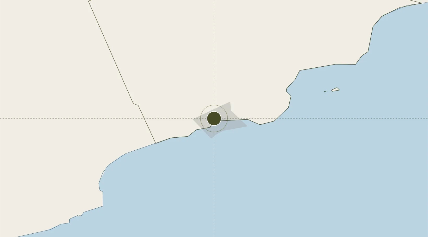
17.0521°, 54.0424°
1,848 ha
Zone area
11.3 km
Nearest port
5.4 km
Nearest airport

Gateway access

Nearest neighbours — logibook spatial index (haversine) over the source coordinates

Zone profile

Zone type
Free Trade Zone
Open Zone Map
Region
Dhofar
Open Zone Map
Status
Active
Open Zone Map
Management
Public
Open Zone Map
Operator
Salalah Free Zone Company SAOC
Open Zone Map
Legal framework
The Royal Decree 56/2003, Royal Decree No. 62/2006
Open Zone Map

Location

Location of ozm-3019
Natural Earth 10m (public domain) · Dhofar · ozm-3019 · 17.05, 54.04GoogleOSMYandex

Nearby Logistics Neighbours

Ports
  1. 1Mina Raysut11 km
  2. 2Nishtun240 km
  3. 3Duqm485 km
  4. 4Ash Shihr Oil Terminal553 km
  5. 5Al Mukalla598 km
Nearest neighbours — logibook spatial index (haversine) over the source coordinates
Airports
  1. 1Salalah International Airport5 km
  2. 2Thumrait Air Base68 km
  3. 3Al Ghaydah International Airport221 km
  4. 4Duqm International Airport467 km
  5. 5Aradah Airport482 km
Nearest neighbours — logibook spatial index (haversine) over the source coordinates
Cities
  1. 1Salalah13 km
  2. 2Al Mazunah173 km
  3. 3Chorula386 km
  4. 4Duqm486 km
  5. 5Suqutrá506 km
Nearest neighbours — logibook spatial index (haversine) over the source coordinates
Trade Zones
  1. 1Al Mazunah Free Zone172 km
  2. 2Duqm Special Economic Zone484 km
  3. 3Al Ain Industrial City798 km
  4. 4Industrial City of Abu Dhabi (ICAD)805 km
  5. 5Abu Dhabi Construction City Building Material City816 km
Nearest neighbours — logibook spatial index (haversine) over the source coordinates
DatabookThe Record of Consolidated Knowledge
Oman beyond logistics?
Browse databook

All Sources

Trade ZonesOpen Zone Map
CC BY
Portsthe NGA World Port Index
Public domain (US gov)
AirportsOurAirports
Public domain
LocationsUN/LOCODE
UN/LOCODE — free
← Oman trade zones