Free Trade Zone · Oman

Khazaen Economic City Under Development
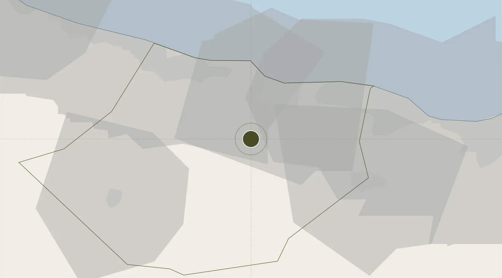
23.5679°, 57.7974°
5,100 ha
Zone area
73.7 km
Nearest port
32.6 km
Nearest airport

Gateway access

Nearest neighbours — logibook spatial index (haversine) over the source coordinates

Zone profile

Zone type
Free Trade Zone
Open Zone Map
Region
Al Batnah South
Open Zone Map
Status
Under Development
Open Zone Map
Management
Public
Open Zone Map
Operator
Marafi, Khimji Ramdas and Al Madina Logistics Services
Open Zone Map
Legal framework
The Royal Decree 56/2003
Open Zone Map

Location

Location of ozm-3021
Natural Earth 10m (public domain) · Al Batnah South · ozm-3021 · 23.57, 57.80GoogleOSMYandex

Nearby Logistics Neighbours

Ports
  1. 1Mina Al Fahl74 km
  2. 2Mina Qabus80 km
  3. 3Port Of Sohar158 km
  4. 4Qalhat Lng Terminal191 km
  5. 5Jask230 km
Nearest neighbours — logibook spatial index (haversine) over the source coordinates
Airports
  1. 1Mussanah Airport33 km
  2. 2Muscat International Airport50 km
  3. 3Suhar International Airport150 km
  4. 4Fujairah International Airport227 km
  5. 5Jask Airport232 km
Nearest neighbours — logibook spatial index (haversine) over the source coordinates
Cities
  1. 1Khazaen2 km
  2. 2Muscat21 km
  3. 3Al Mudayq40 km
  4. 4Al-Suwaiq49 km
  5. 5Fahal73 km
Nearest neighbours — logibook spatial index (haversine) over the source coordinates
Trade Zones
  1. 1Knowledge Oasis Muscat38 km
  2. 2Sohar Free Zone161 km
  3. 3Al Ain Industrial City226 km
  4. 4Fujairah Creative City229 km
  5. 5Fujairah Free Zone231 km
Nearest neighbours — logibook spatial index (haversine) over the source coordinates
DatabookThe Record of Consolidated Knowledge
Oman beyond logistics?
Browse databook

All Sources

Trade ZonesOpen Zone Map
CC BY
Portsthe NGA World Port Index
Public domain (US gov)
AirportsOurAirports
Public domain
LocationsUN/LOCODE
UN/LOCODE — free
← Oman trade zones