Charter City · Oman

Duqm Special Economic Zone Active
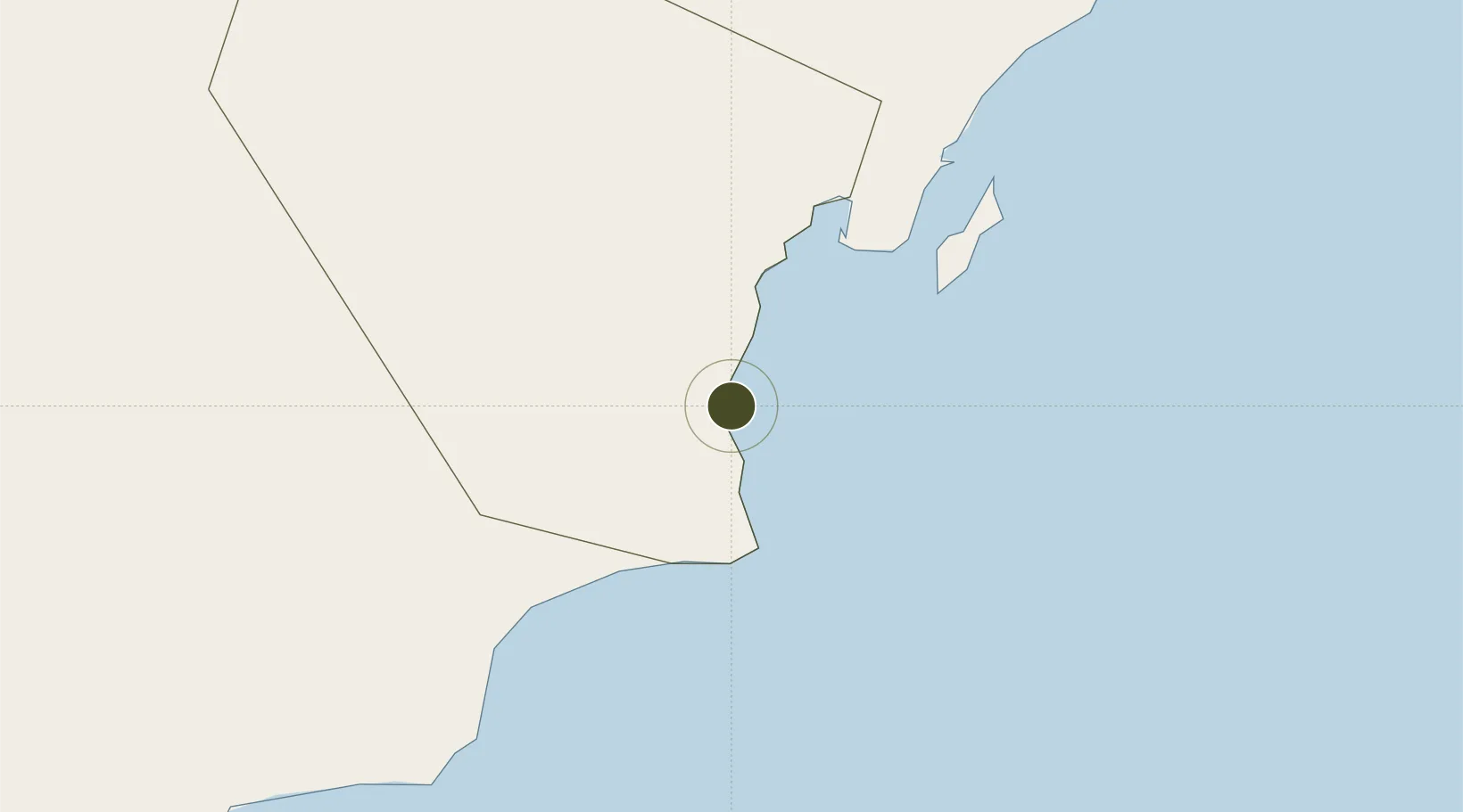
19.6600°, 57.7167°
200,000 ha
Zone area
1.5 km
Nearest port
19.6 km
Nearest airport

Gateway access

Nearest neighbours — logibook spatial index (haversine) over the source coordinates

Zone profile

Zone type
Charter City
Open Zone Map
Region
Al Wusta
Open Zone Map
Status
Active
Open Zone Map
Management
Public
Open Zone Map
Operator
Duqm Special Economic Zone Authority
Open Zone Map
Legal framework
The Royal Decree 56/2005, Royal Decree Number (79/2013)
Open Zone Map

Location

Location of ozm-3016
Natural Earth 10m (public domain) · Al Wusta · ozm-3016 · 19.66, 57.72GoogleOSMYandex

Nearby Logistics Neighbours

Ports
  1. 1Duqm2 km
  2. 2Qalhat Lng Terminal379 km
  3. 3Mina Al Fahl450 km
  4. 4Mina Qabus451 km
  5. 5Mina Raysut492 km
Nearest neighbours — logibook spatial index (haversine) over the source coordinates
Airports
  1. 1Duqm International Airport20 km
  2. 2RAFO Masirah167 km
  3. 3Aradah Airport309 km
  4. 4Ras al Hadd Airport357 km
  5. 5Muscat International Airport442 km
Nearest neighbours — logibook spatial index (haversine) over the source coordinates
Cities
  1. 1Duqm2 km
  2. 2Sur377 km
  3. 3Qalhat379 km
  4. 4Khazaen433 km
  5. 5Muscat447 km
Nearest neighbours — logibook spatial index (haversine) over the source coordinates
Trade Zones
  1. 1Khazaen Economic City435 km
  2. 2Knowledge Oasis Muscat437 km
  3. 3Salalah Ṣalālah Free Zone484 km
  4. 4Al Ain Industrial City535 km
  5. 5Sohar Free Zone551 km
Nearest neighbours — logibook spatial index (haversine) over the source coordinates
DatabookThe Record of Consolidated Knowledge
Oman beyond logistics?
Browse databook

All Sources

Trade ZonesOpen Zone Map
CC BY
Portsthe NGA World Port Index
Public domain (US gov)
AirportsOurAirports
Public domain
LocationsUN/LOCODE
UN/LOCODE — free
← Oman trade zones