Large airport · Oman
Muscat International AirportOOMS
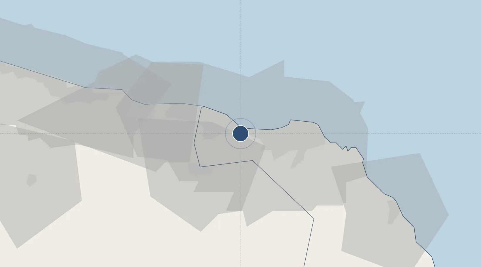
23.6002°, 58.2853°
13,386 ft
Longest runway
2
Runways
48 ft
Elevation
Runway & Layout

Radio Frequencies
ATIS
126.8 MHz
TWR
118.4 MHz
GND
121.8 MHz
GND
121.875 MHz
NORTH GND
APP
121.2 MHz
RADAR
A/D
121.2 MHz
APP
Clearance
125.575 MHz
MUSCAT Delivery
Navaids
MCT VOR-DME Seeb 114.50 MHz
NSB NDB Seeb 318 kHz
Runways · 2
| Runway | Dimensions | Surface | True heading | Lit |
|---|---|---|---|---|
| 08R/26L | 13,386 × 148ft | Asphalt | 085° | ✓ |
| 08L/26R | 13,123 × 197ft | Asphalt | 085° | ✓ |
Airport Specifications
IATA code
MCT
ICAO code
OOMS
Airport class
Large airport
Scheduled service
Yes
Runway surface
Asphalt
Served city
Muscat/Seeb
Location
Nearby Logistics Neighbours
Airports
- 1Mussanah Airport81 km
- 2Suhar International Airport190 km
- 3Ras al Hadd Airport211 km
- 4Jask Airport234 km
- 5Fujairah International Airport260 km
Cities
- 1Fahal24 km
- 2Mina' al Fahl24 km
- 3Mina Sultan Qaboos, Muscat27 km
- 4Muscat33 km
- 5Port Sultan36 km
Ports
- 1Mina Al Fahl24 km
- 2Mina Qabus31 km
- 3Qalhat Lng Terminal153 km
- 4Port Of Sohar196 km
- 5Jask232 km
Trade Zones
- 1Knowledge Oasis Muscat12 km
- 2Khazaen Economic City50 km
- 3Sohar Free Zone199 km
- 4Fujairah Creative City261 km
- 5Fujairah Free Zone262 km
DatabookThe Record of Consolidated Knowledge
Oman beyond logistics?