Transport Functions
Port
Road
Hub Profile
Place type
Populated place
Region
Al Wusta Governorate
Time zone
Asia/Muscat
Elevation
-3 m
Logistics facilities
1
Container terminals
1
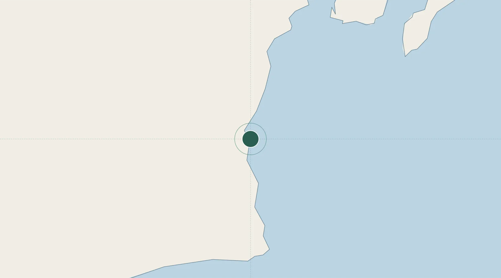
Location
Nearby Logistics Neighbours
Cities
- 1Sur375 km
- 2Qalhat377 km
- 3Khazaen431 km
- 4Muscat445 km
- 5Mina Sultan Qaboos, Muscat446 km
Ports
- 1Qalhat Lng Terminal377 km
- 2Mina Al Fahl448 km
- 3Mina Qabus449 km
- 4Mina Raysut494 km
- 5Port Of Sohar550 km
Airports
- 1Duqm International Airport22 km
- 2RAFO Masirah165 km
- 3Aradah Airport309 km
- 4Ras al Hadd Airport355 km
- 5Muscat International Airport440 km
Trade Zones
- 1Duqm Special Economic Zone2 km
- 2Khazaen Economic City433 km
- 3Knowledge Oasis Muscat435 km
- 4Salalah Ṣalālah Free Zone486 km
- 5Al Ain Industrial City534 km
DatabookThe Record of Consolidated Knowledge
Oman beyond logistics?