Seaport · Oman
Mina RaysutOMSLL
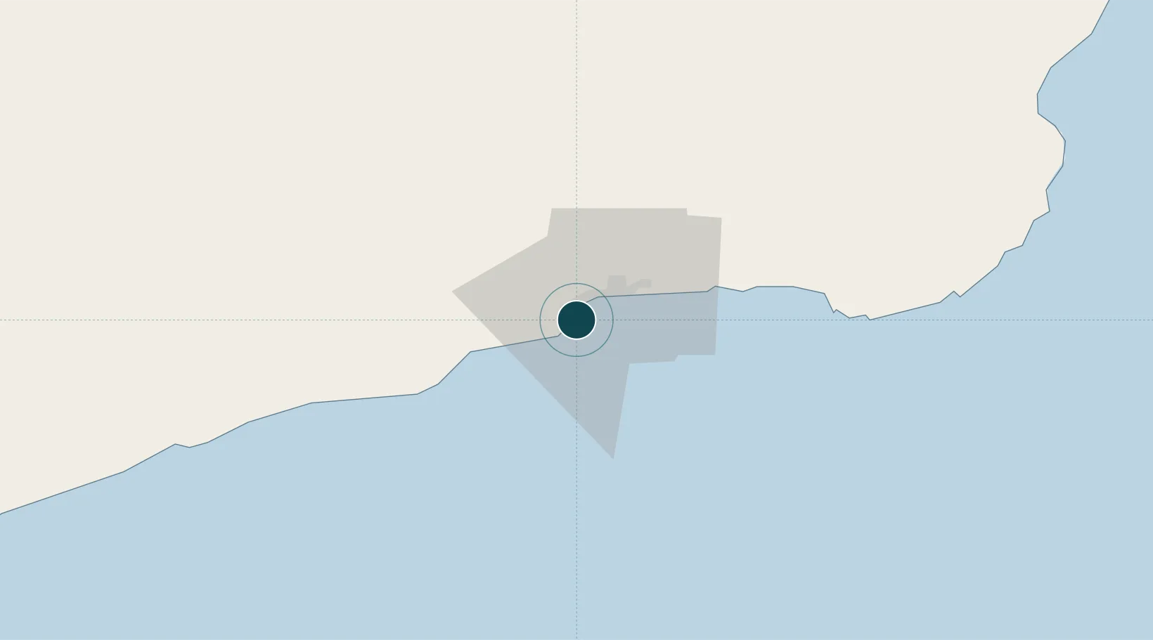
16.9511°, 54.0292°
18.5 m
Channel depth
1
Container terminals
235.6
Port liner connectivity
Channel & Berth Profile
Pilotage, Tugs & Services
Pilotage compulsoryYES
Pilotage availableYES
Pilotage advisableYES
Tug assistanceYES
Shore powerYES
Potable waterYES
Diesel bunkersYES
MedicalYES
Garbage disposalYES
Facilities & Capabilities
ContainerYES
Ro-RoYES
Liquid bulkYES
Dry bulkYES
Oil terminalYES
Break bulkYES
Dry dock—
RepairsNO
BunkeringYES
Rail link—
Dangerous cargo—
ISPS security—
Harbour Specifications
Harbour size
Small
Harbour type
Coastal (Breakwater)
Shelter
Good
Water body
Arabian Sea; Indian Ocean
Tidal range
2 m
Overhead limit
No
Pilotage
Yes
Liner Connectivity
235.6
PLSCI
Port Liner Shipping Connectivity Index for Mina Raysut, as published by UNCTAD for the latest available quarter. Higher values indicate stronger scheduled liner-shipping integration.
Shown relative to the highest per-port PLSCI in the dataset (1,657.9).
Location
Container Terminals · 1
APM TERMINALS SALALAH
APMT APM TERMINALS
Nearby Logistics Neighbours
Ports
- 1Nishtun232 km
- 2Duqm493 km
- 3Ash Shihr Oil Terminal547 km
- 4Al Mukalla591 km
- 5Balhaf709 km
Cities
- 1Al Mazunah178 km
- 2Chorula388 km
- 3Duqm494 km
- 4Suqutrá495 km
- 5Mukalla588 km
Airports
- 1Salalah International Airport12 km
- 2Thumrait Air Base80 km
- 3Al Ghaydah International Airport215 km
- 4Duqm International Airport475 km
- 5Socotra Airport480 km
Trade Zones
- 1Salalah Ṣalālah Free Zone11 km
- 2Al Mazunah Free Zone176 km
- 3Duqm Special Economic Zone492 km
- 4Al Ain Industrial City809 km
- 5Industrial City of Abu Dhabi (ICAD)816 km
DatabookThe Record of Consolidated Knowledge
Oman beyond logistics?