Transport Functions
Port
Airport
Postal
Hub Profile
Place type
National capital
Region
Muscat
Population
797,000
Time zone
Asia/Muscat
Elevation
14 m
Logistics facilities
1
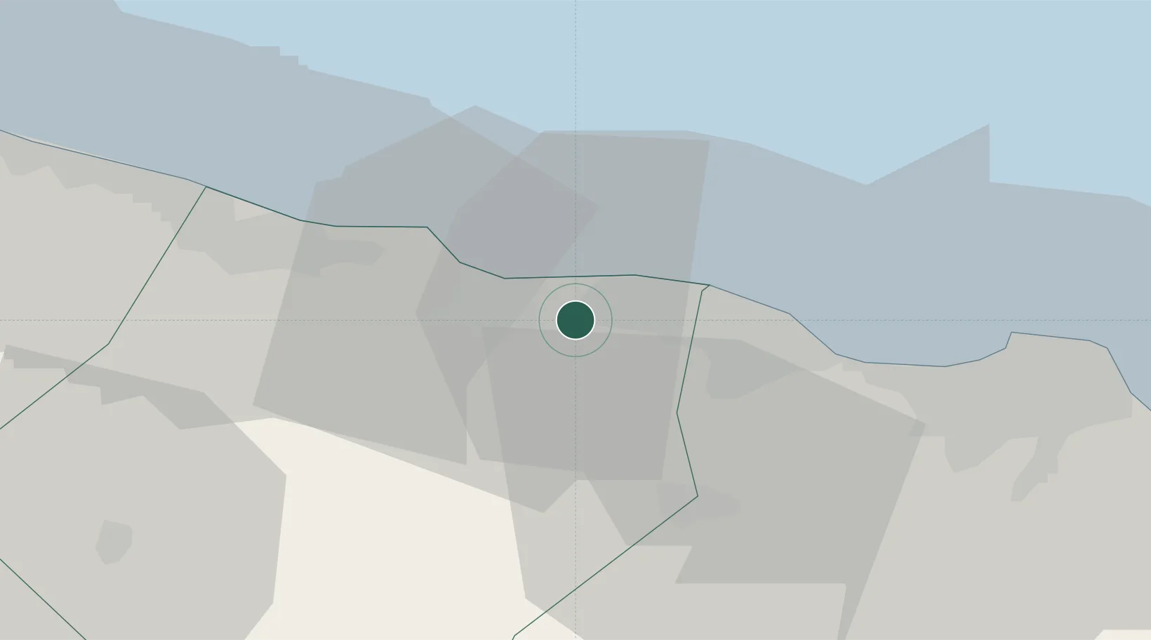
Location
Nearby Logistics Neighbours
Cities
- 1Khazaen22 km
- 2Al Mudayq49 km
- 3Fahal54 km
- 4Mina' al Fahl56 km
- 5Al-Suwaiq58 km
Ports
- 1Mina Al Fahl56 km
- 2Mina Qabus62 km
- 3Port Of Sohar165 km
- 4Qalhat Lng Terminal183 km
- 5Jask219 km
Airports
- 1Muscat International Airport33 km
- 2Mussanah Airport50 km
- 3Suhar International Airport158 km
- 4Jask Airport221 km
- 5Fujairah International Airport231 km
Trade Zones
- 1Khazaen Economic City21 km
- 2Knowledge Oasis Muscat23 km
- 3Sohar Free Zone168 km
- 4Fujairah Creative City232 km
- 5Fujairah Free Zone234 km
DatabookThe Record of Consolidated Knowledge
Oman beyond logistics?