Transport Functions
Port
Road
Hub Profile
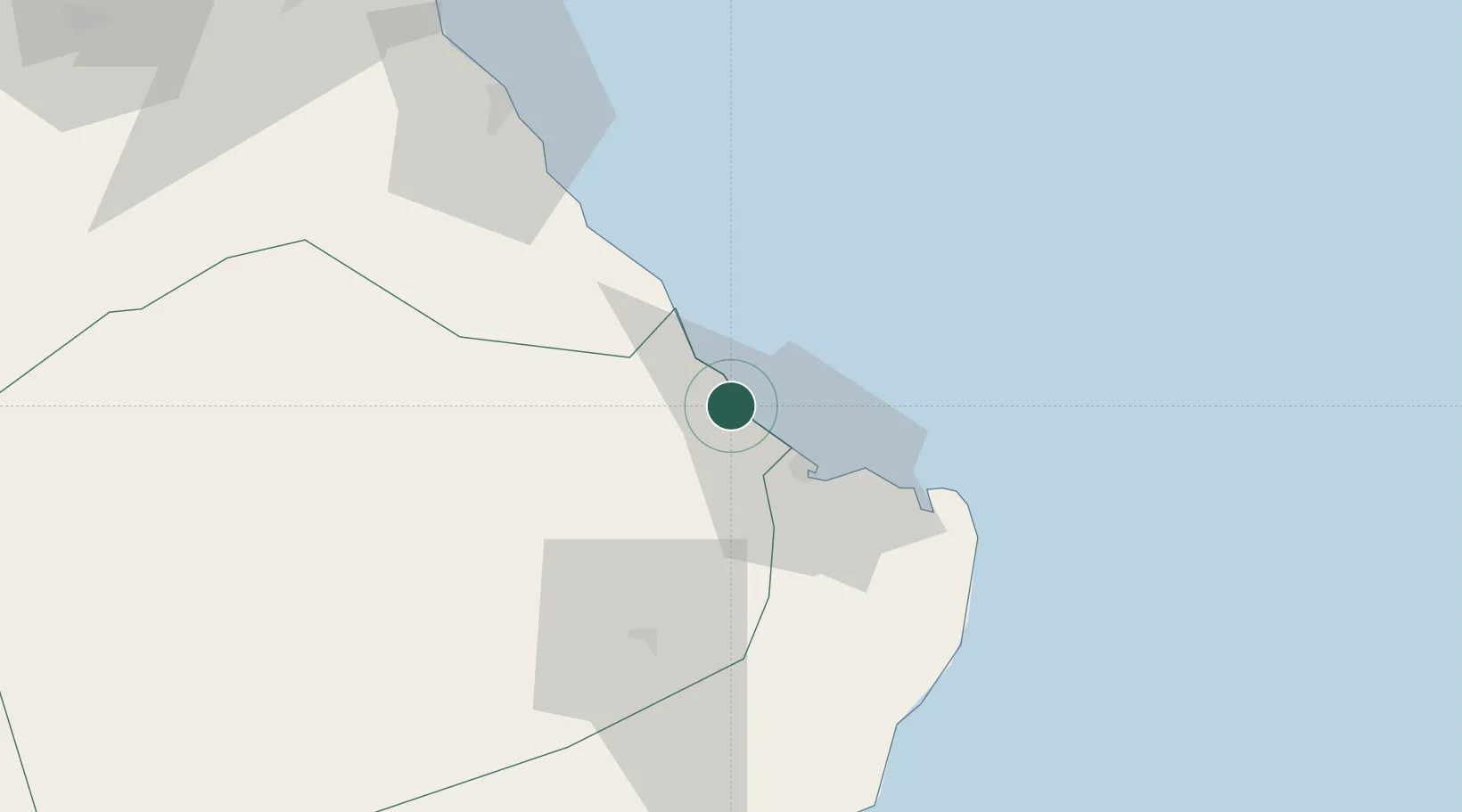
Place type
Populated place
Region
Southeastern Governorate
Time zone
Asia/Muscat
Elevation
10 m
Location
Nearby Logistics Neighbours
Cities
- 1Sur9 km
- 2Port Sultan127 km
- 3Mina Sultan Qaboos, Muscat132 km
- 4Mina' al Fahl135 km
- 5Fahal141 km
Ports
- 1Mina Qabus131 km
- 2Mina Al Fahl135 km
- 3Chah Bahar312 km
- 4Port Of Sohar344 km
- 5Jask364 km
Airports
- 1Ras al Hadd Airport63 km
- 2Muscat International Airport149 km
- 3Mussanah Airport219 km
- 4RAFO Masirah230 km
- 5Chabahar Konarak International Airport322 km
Trade Zones
- 1Knowledge Oasis Muscat156 km
- 2Khazaen Economic City187 km
- 3Chābahār Trade Industrial Free Zone318 km
- 4Sohar Free Zone347 km
- 5Duqm Special Economic Zone379 km
DatabookThe Record of Consolidated Knowledge
Oman beyond logistics?