Channel & Berth Profile
Pilotage, Tugs & Services
Pilotage compulsoryYES
Pilotage availableYES
Local assistanceYES
Tug assistanceYES
Potable waterYES
Diesel bunkersYES
MedicalYES
Garbage disposalYES
Facilities & Capabilities
ContainerNO
Ro-RoNO
Liquid bulkYES
Dry bulkNO
Oil terminalYES
Break bulkNO
Dry dock—
Repairs—
BunkeringYES
Rail link—
Dangerous cargo—
ISPS security—
Harbour Specifications
Harbour size
Small
Harbour type
Open Roadstead
Shelter
Poor
Water body
Gulf of Oman; Indian Ocean
Tidal range
3 m
Overhead limit
No
Pilotage
Yes
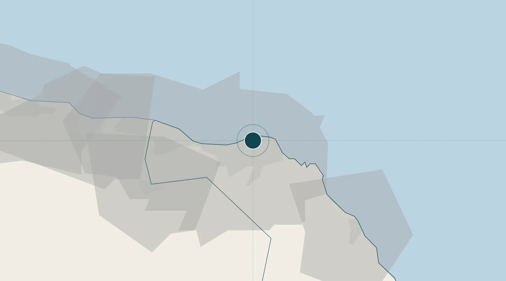
Location
Nearby Logistics Neighbours
Ports
- 1Mina Qabus7 km
- 2Qalhat Lng Terminal139 km
- 3Port Of Sohar215 km
- 4Jask235 km
- 5Chah Bahar280 km
Cities
- 1Mina Sultan Qaboos, Muscat4 km
- 2Fahal6 km
- 3Port Sultan12 km
- 4Muscat56 km
- 5Khazaen74 km
Airports
- 1Muscat International Airport24 km
- 2Mussanah Airport105 km
- 3Ras al Hadd Airport198 km
- 4Suhar International Airport210 km
- 5Jask Airport236 km
Trade Zones
- 1Knowledge Oasis Muscat36 km
- 2Khazaen Economic City74 km
- 3Sohar Free Zone218 km
- 4Fujairah Creative City277 km
- 5Fujairah Free Zone278 km
DatabookThe Record of Consolidated Knowledge
Oman beyond logistics?