Seaport · Oman
Port Of SoharOMSOH
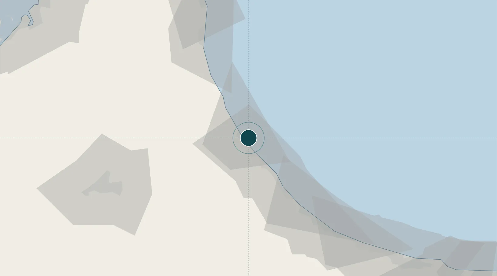
24.5167°, 56.6333°
18.5 m
Channel depth
1
Container terminals
178.2
Port liner connectivity
Channel & Berth Profile
Pilotage, Tugs & Services
Pilotage compulsoryYES
Pilotage availableYES
Pilotage advisableYES
Tug assistanceYES
Garbage disposalYES
Facilities & Capabilities
ContainerYES
Ro-RoYES
Liquid bulkYES
Dry bulkYES
Oil terminalYES
Break bulkYES
Dry dock—
Repairs—
Bunkering—
Rail link—
Dangerous cargo—
ISPS security—
Harbour Specifications
Harbour size
Small
Harbour type
Coastal (Breakwater)
Shelter
Fair
Water body
Gulf of Oman; Indian Ocean
Tidal range
3 m
Pilotage
Yes
Liner Connectivity
178.2
PLSCI
Port Liner Shipping Connectivity Index for Port Of Sohar, as published by UNCTAD for the latest available quarter. Higher values indicate stronger scheduled liner-shipping integration.
Shown relative to the highest per-port PLSCI in the dataset (1,657.9).
Location
Container Terminals · 1
OMAN INTERNATIONAL CONTAINER TERMINAL (OICT)
OICT HUTCHISON PORTS SOHAR
Nearby Logistics Neighbours
Ports
- 1Khawr Fakkan98 km
- 2Al Hamriyah Lpg Terminal157 km
- 3Ajman157 km
- 4Ash Shariqah158 km
- 5Dubayy158 km
Cities
- 1Shinas29 km
- 2Kalba68 km
- 3Al Fujayrah79 km
- 4Khor al Fakkan98 km
- 5Al-Suwaiq110 km
Airports
- 1Suhar International Airport15 km
- 2Fujairah International Airport73 km
- 3Al Ain International Airport108 km
- 4Mussanah Airport130 km
- 5Al Minhad Air Base140 km
Trade Zones
- 1Sohar Free Zone5 km
- 2Fujairah Creative City74 km
- 3Fujairah Free Zone78 km
- 4Al Ain Industrial City112 km
- 5RAKEZ Al Ghail Industrial Zone119 km
DatabookThe Record of Consolidated Knowledge
Oman beyond logistics?