Free Trade Zone · Oman
Knowledge Oasis Muscat Active
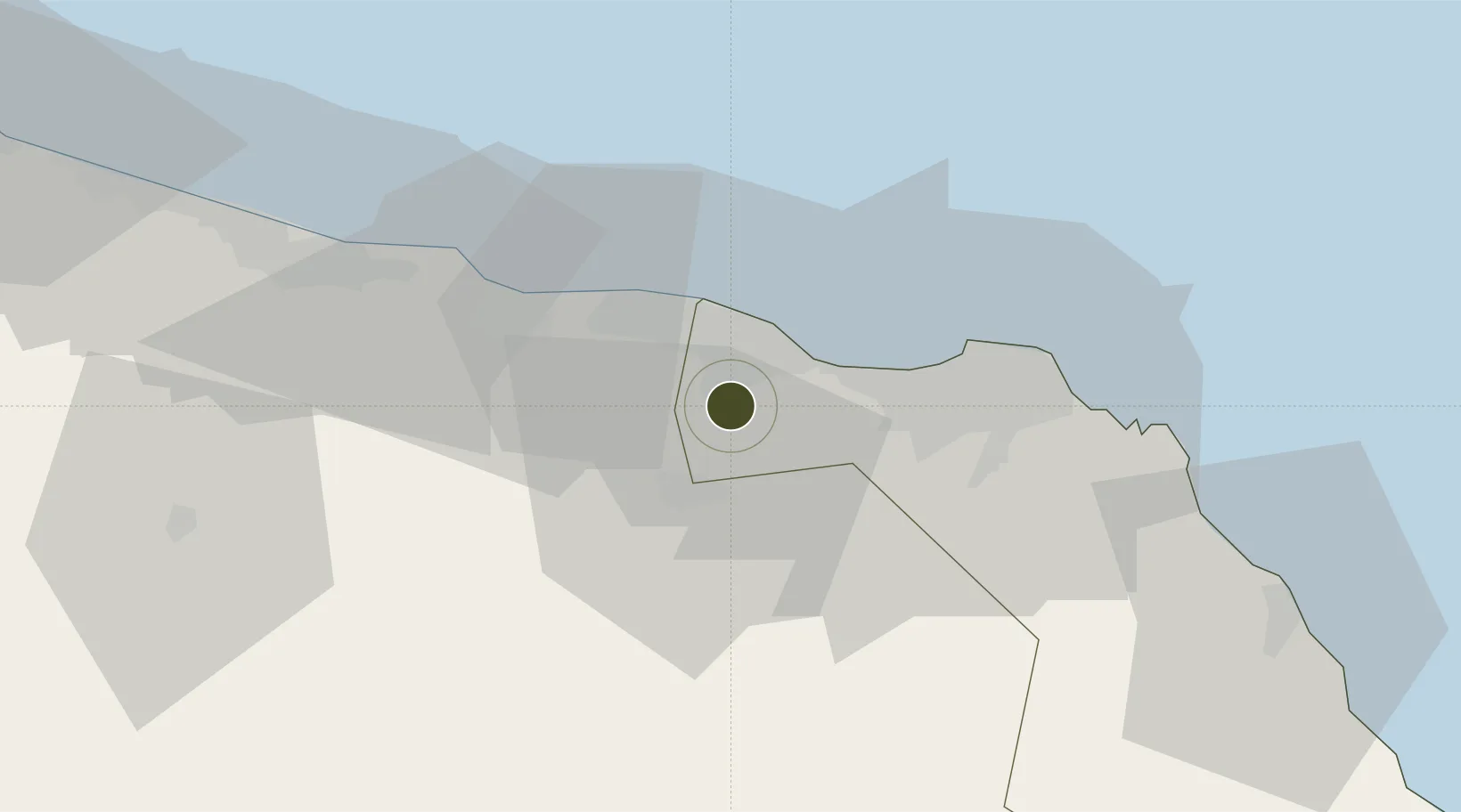
23.5670°, 58.1695°
68 ha
Zone area
36.1 km
Nearest port
12.4 km
Nearest airport
Gateway access
Zone profile
Zone type
Free Trade Zone
Region
Muscat
Status
Active
Management
Public
Operator
Public Establishment for Industrial Estates
Legal framework
The Royal Decree 56/2003
Location
Nearby Logistics Neighbours
Ports
- 1Mina Al Fahl36 km
- 2Mina Qabus43 km
- 3Qalhat Lng Terminal160 km
- 4Port Of Sohar188 km
- 5Jask233 km
Airports
- 1Muscat International Airport12 km
- 2Mussanah Airport70 km
- 3Suhar International Airport181 km
- 4Ras al Hadd Airport217 km
- 5Jask Airport235 km
Cities
- 1Muscat23 km
- 2Fahal36 km
- 3Mina' al Fahl36 km
- 4Khazaen38 km
- 5Mina Sultan Qaboos, Muscat39 km
Trade Zones
- 1Khazaen Economic City38 km
- 2Sohar Free Zone191 km
- 3Fujairah Creative City255 km
- 4Fujairah Free Zone256 km
- 5Al Ain Industrial City263 km
DatabookThe Record of Consolidated Knowledge
Oman beyond logistics?