Channel & Berth Profile
Pilotage, Tugs & Services
Pilotage compulsoryYES
Tug assistanceYES
Potable waterNO
Diesel bunkersNO
MedicalYES
Garbage disposalNO
Facilities & Capabilities
Container—
Ro-Ro—
Liquid bulk—
Dry bulk—
Oil terminal—
Break bulk—
Dry dock—
Repairs—
BunkeringNO
Rail link—
Dangerous cargo—
ISPS security—
Harbour Specifications
Harbour size
Very Small
Harbour type
Open Roadstead
Shelter
Poor
Water body
Gulf of Oman; Indian Ocean
Tidal range
3 m
Pilotage
Yes
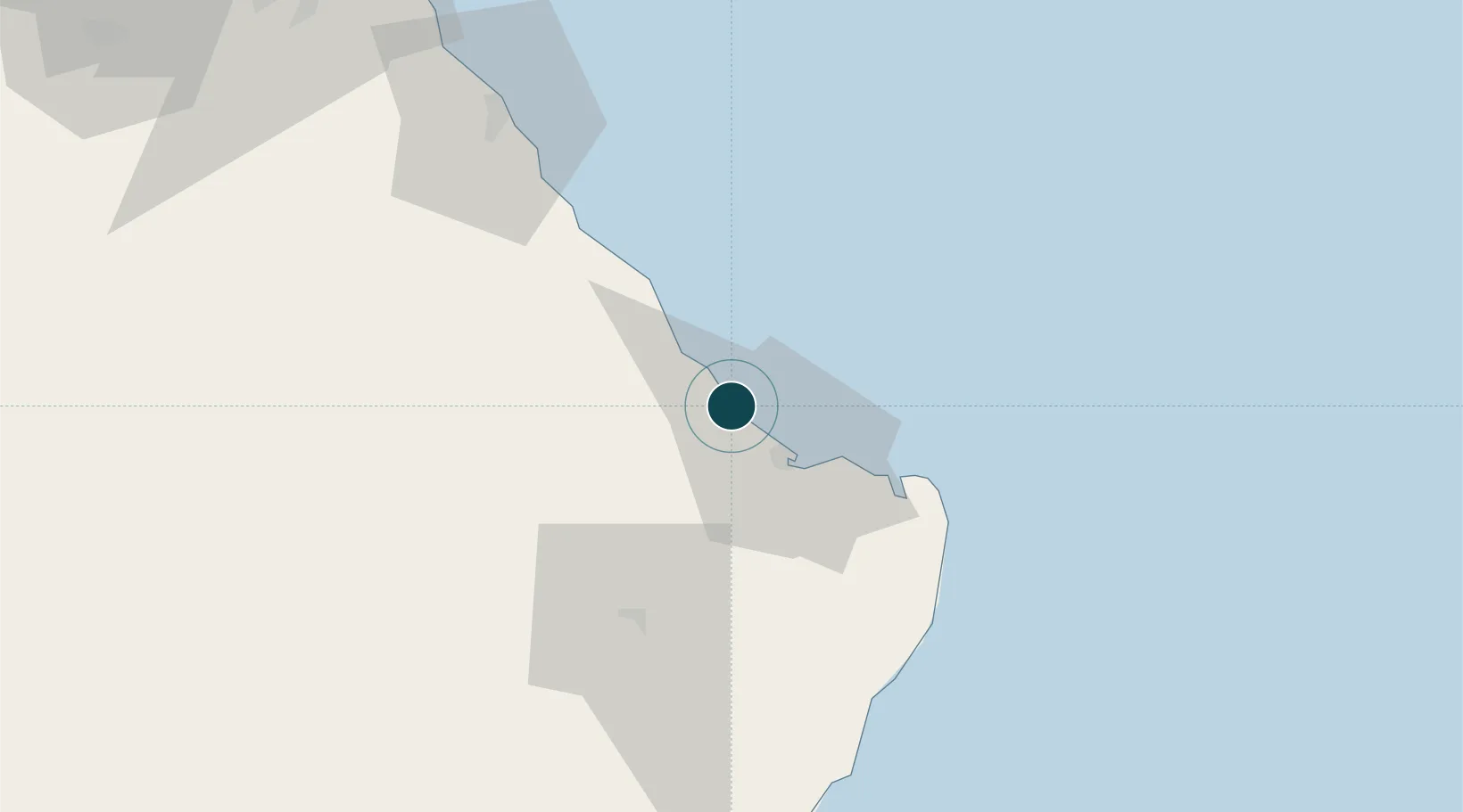
Location
Nearby Logistics Neighbours
Ports
- 1Mina Qabus135 km
- 2Mina Al Fahl139 km
- 3Chah Bahar313 km
- 4Port Of Sohar348 km
- 5Jask368 km
Cities
- 1Sur5 km
- 2Port Sultan130 km
- 3Mina Sultan Qaboos, Muscat135 km
- 4Mina' al Fahl139 km
- 5Fahal144 km
Airports
- 1Ras al Hadd Airport59 km
- 2Muscat International Airport153 km
- 3Mussanah Airport223 km
- 4RAFO Masirah229 km
- 5Chabahar Konarak International Airport323 km
Trade Zones
- 1Knowledge Oasis Muscat160 km
- 2Khazaen Economic City191 km
- 3Chābahār Trade Industrial Free Zone319 km
- 4Sohar Free Zone351 km
- 5Duqm Special Economic Zone379 km
DatabookThe Record of Consolidated Knowledge
Oman beyond logistics?